Subject: Texas
Period: 1857 (published)
Publication:
Color: Hand Color
Size:
5.5 x 8.6 inches
14 x 21.8 cm
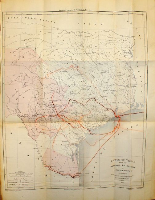
Scarce map of Texas based on Jacob de Cordova's 1849 depiction showing the state west to the Pecos, here labeled R. Puerco, just north of the Rio Grande. Even though published in 1857, this French map illustrates Texas after it became the 28th state in 1845, but before the Compromise of 1850, when the present boundaries were established. There were four empresario grant type colonies established during the Republic of Texas period, one being the Fisher and Miller Colony, shown here north of Fredricksburg. The other three that are no longer noted on this map were Peters' Colony, Castro's Colony and Mercer's Colony. These types of colonies were changed to be more in order with regular US land grants. West Texas is noted as being the Solitudes habitees par les Comanches.
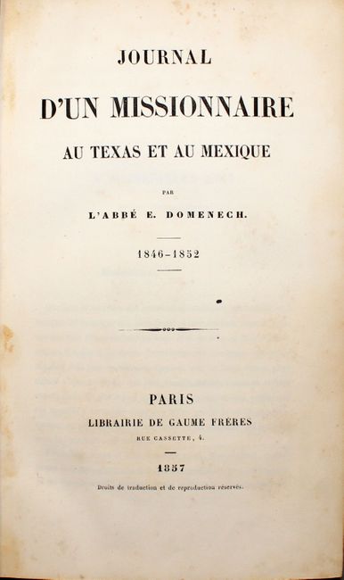
This map illustrates the travels of Abbe Emmanuel Domenech in Texas as described in the book; first in 1846-50, and then again in 1851-2. Domenech was the first Catholic priest to be ordained in Texas and was charged with the establishment of the Catholic hierarchy in Texas, amid the tensions of the boundary disputes with Mexico. On his second journey he based himself in Brownsville and visited neighboring places in Texas and Mexico. The tracks of his missionary activities are shown in orange on the map. This map was engraved by Erhard and published by Fevrier. It is an unusual and important map in the history of the state of Texas from the first edition of Domenech's Journal.
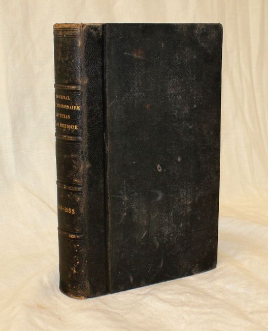
8vo., 477 pp. Quarter brown leather with cloth-covered boards, gilt titling and raised bands on spine, and marbled endpapers. The map is still attached at the back of the book, as issued.
References: Martin & Martin, p. 141.
Condition: B+
Map is in original color with color offsetting and a few small, insignificant spots. There is a printer's crease at bottom left and a small binding tear at left confined to blank margin. Text is clean and bright with light, scattered foxing and a tiny light damp stain near spine at bottom in the latter 80 pages. The covers and spine are worn with a small crack alongside the spine. The interior hinges are broken and the front marbled pastedown is detached.