Subject: Yosemite, California
Period: 1896-1901 (circa)
Publication:
Color:
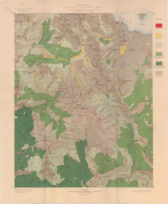
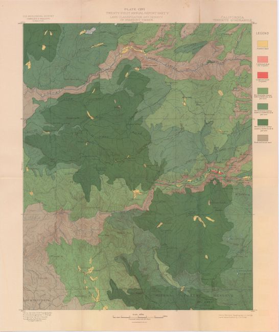
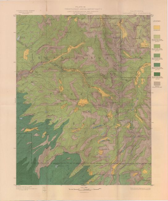
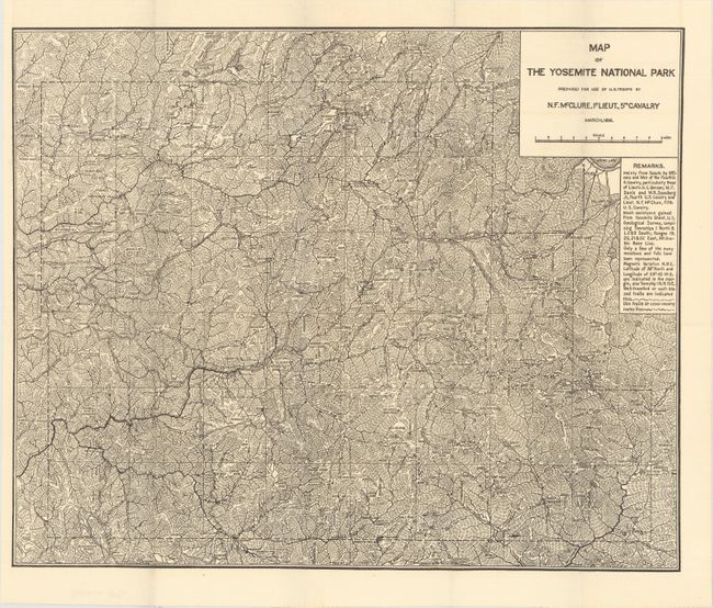
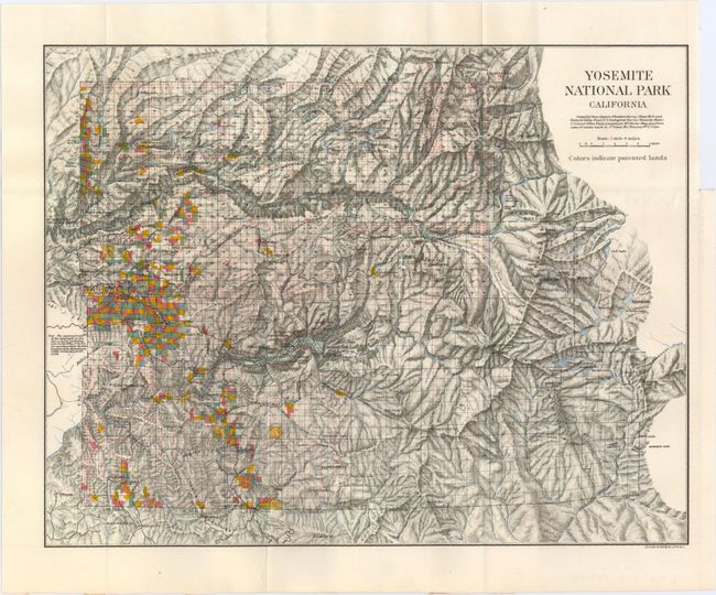
The first three maps, published by the USGS, show pastures, timber land and barren land in vivid color. The maps depict very detailed topography and watershed and were issued under the supervision of Charles D. Walcott. Also included in the lot are two topographic maps of the National Park that show topography and patented lands.
A. Plate CXVII...California Mt. Lyell Quadrangle, by U.S. Geological Survey, dated 1901, printed color (14.0 x 19.0"). Condition: Light toning with one tiny split at a fold intersection. (B+)
B. Plate CXVI ... California Yosemite Quadrangle, by U.S. Geological Survey, circa 1901, printed color (14.0 x 19.1"). Condition: Light toning with one tiny split at a fold intersection. (B+)
C. Plate XC ... California Dardanelles Quadrangle, by U.S. Geological Survey, circa 1901, printed color (13.9 x 19.1"). Condition: Light toning. (B+)
D. Map of the Yosemite National Park Prepared for Use by U.S. Troops..., by N.F. McClure, dated 1896, black and white (19.9 x 16.3"). Condition: (A+)
E. Yosemite National Park California, by Julius Bien and Co., circa 1898, printed color (13.9 x 10.8"). Condition: Binding trim at upper right. (A+)
References:
Condition:
See descriptions above.