Subject: United States
Period: 1866 (dated)
Publication:
Color: Hand Color
Size:
34.8 x 19.3 inches
88.4 x 49 cm
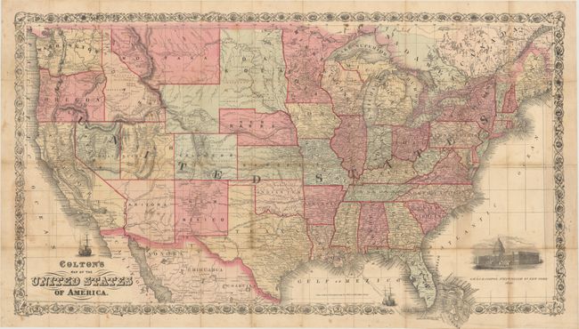
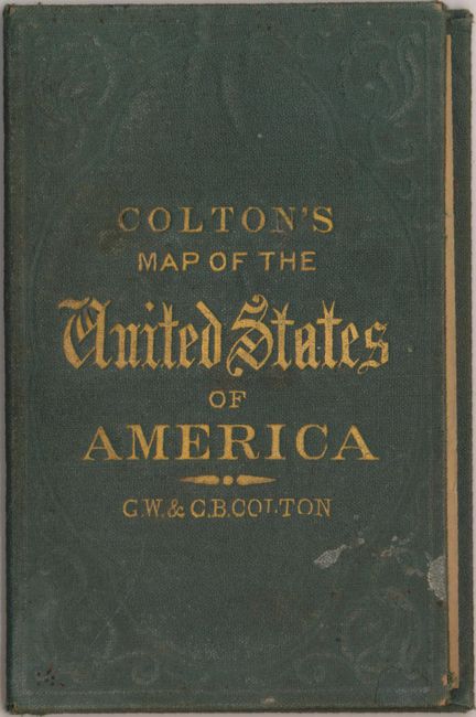
This is a great large-format map of the United States with evolving western territorial boundaries. A large Dakota territory includes present-day Wyoming and the eastern edge of Idaho. Arizona territory includes the southern tip of present-day Nevada, and the eastern border of Utah is still shown in a larger territorial configuration. The map is filled with place names, forts, and Indian tribes as well as several proposed routes for a transcontinental railroad, the Pony Express route, and the U.S. Mail Route. Decorated by a sailing ship, a vignette of the Capitol building, and surrounded by a floral border. Originally folded into green embossed cloth boards with gilt title on front cover. Covers are still present, but detached. There has been only one dealer listing of this map in the last 30 years.
References:
Condition: B
Issued folding and now flattened and backed with tissue to repair numerous fold separations. Light toning along the folds with several small brown spots in the image. Detached covers are in very good condition with light shelf wear.