Catalog Archive
Auction 147, Lot 124

"United States with Upper & Lower Canada", Cruchley, George Frederick

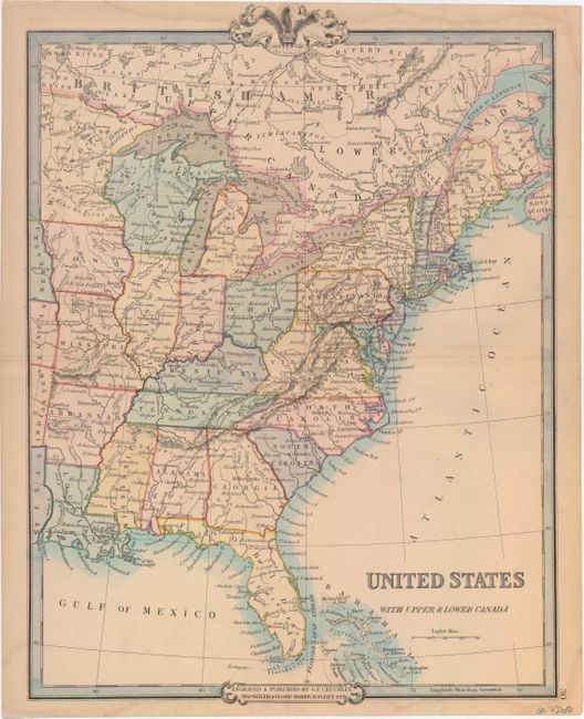
Subject: Eastern United States & Canada

Period: 1850 (circa)

Publication:

Color: Hand Color

Size:
13.8 x 18.5 inches
35.1 x 47 cm
Download High Resolution Image
(or just click on image to launch the Zoom viewer)

This map covers the eastern half of the United States and Canada and is filled with place names, the river systems and topography by hachure. Cartographically, the Upper Peninsula of Michigan is part of Wisconsin and West Virginia is not depicted. Published by George Cruchley at 81 Fleet Street.

References:

Condition: B+

Faint toning along the centerfold and minor damp stains confined to the top and bottom blank margin.

Estimate: $90 - $120

Sold for: $50

Closed on 11/20/2013

Archived