Subject: Atlases
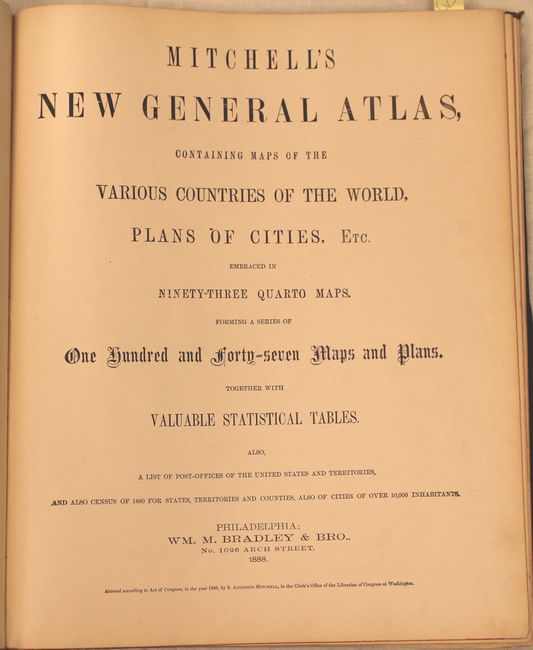
Period: 1888 (published)
Publication:
Color: Hand Color
Size:
13.4 x 16 inches
34 x 40.6 cm
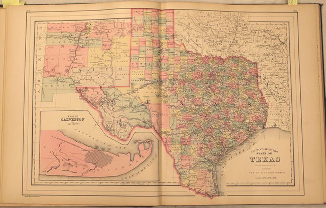
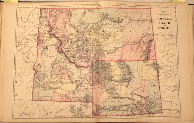
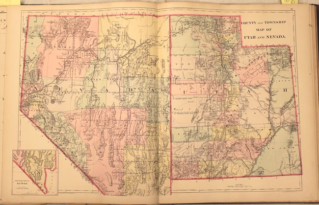
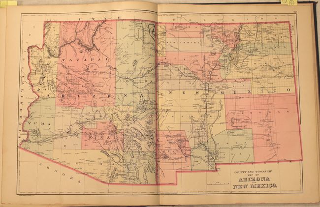
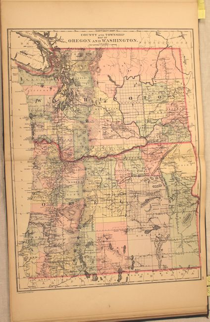
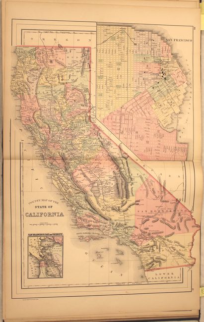
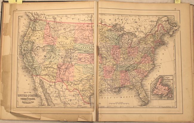
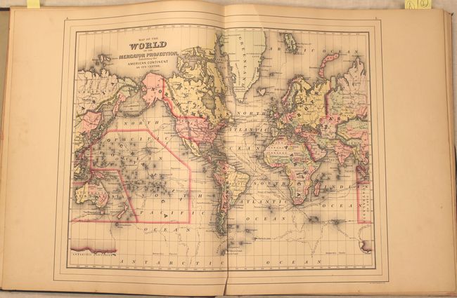
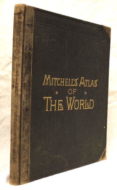
Complete with 147 maps and plans on 67 sheets together with statistical tables, a list of post offices of the United States and Territories, and the census of 1880. This edition contains a number of maps and city plans not found in earlier editions, including separate maps for Colorado, Indian Territory, Dakota Territory, Detroit and the double-page "Railroad Map of the United States." Includes the very nice double-page "County and Township Map of Arizona and New Mexico and County" and "County Map of the State of California." Also includes a double-page map of Texas and double-page city plans of Boston, Philadelphia, and New York. Some, but not all, maps are printed on both sides. Original half calf over cloth boards with gilt title on front cover. Published by William M. Bradley & Bro. who took over the publication in 1880.
References:
Condition: B
Overall, the maps are good to very good with the exceptions being a 5" separation at bottom on the World map (B), and the United States and Vermont map are completely separated along the centerfold (C). Covers and spine are bumped and worn.