Subject: Atlases
Period: 1860 (published)
Publication:
Color: Hand Color
Size:
12 x 14 inches
30.5 x 35.6 cm
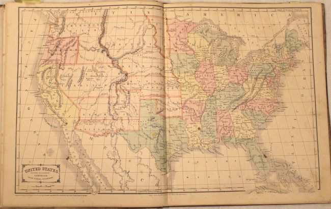
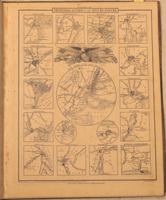
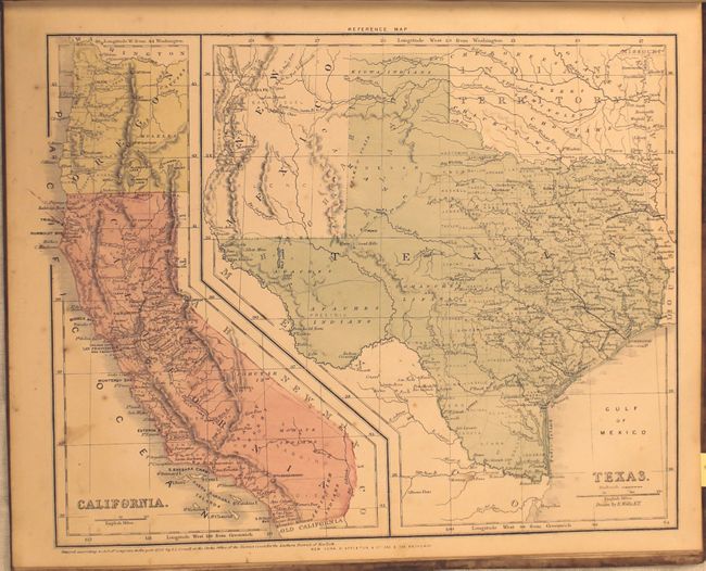
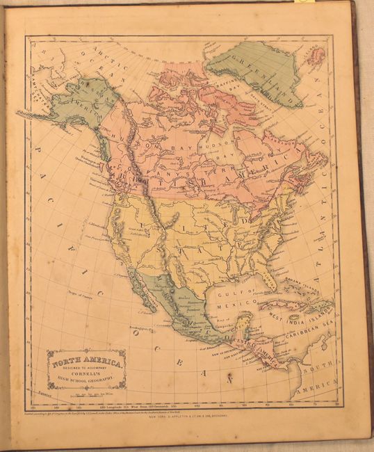
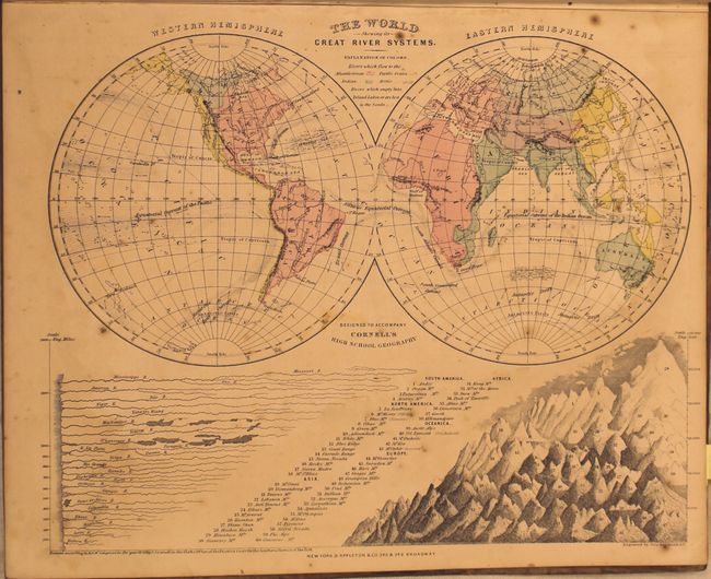
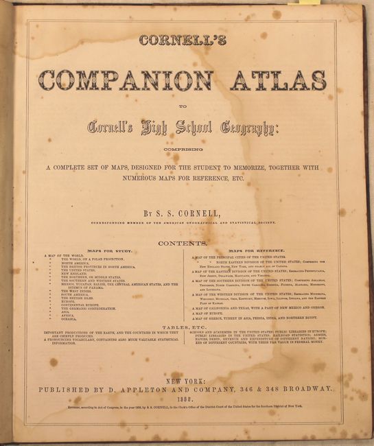
This high school atlas contains 24 hand colored maps including seven double-page, tipped in maps. There are two world maps, maps of the continents, a map of the United States, and several U.S. regional views. The map of the United States shows some early western territorial configurations including an inverted "L" shaped Washington Territory, large Nebraska and Utah territories, and an Arizona territory in its confederate orientation. Folio, paper boards, title page, Preface, 24 maps, 8 page index.
References:
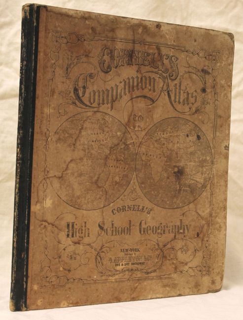
Condition: B
The maps have scattered foxing, toning and occasional pencil notations in the image. There is a large damp stain on the title page, and the covers are heavily stained, rubbed and bumped.