Subject: Atlases
Period: 1835 (published)
Publication:
Color: Hand Color
Size:
9.7 x 11.8 inches
24.6 x 30 cm
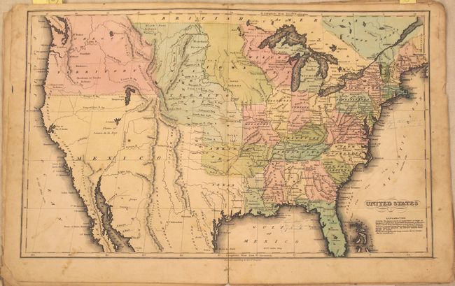
The United States and Great Britain established in 1818 joint claim over the Oregon Territory - the region north of Spanish controlled Upper California up to the southern boundary of Russia's Alaska Territory at North latitude 54°40'. By the late 1830's this arrangement was beginning to fall apart.
In the 1840's the expansionist Democrats, including their 1844 presidential candidate, James Polk, claimed the entire region for the United States. Their expansionist desires were expressed by Polk's famous campaign slogan, "Fifty-four Forty or Fight!" The slogan also became a rally cry for Americans desiring to settle the territory. Following Polk's election, the dispute was resolved by the 1846 Treaty of Oregon, which struck a compromise that fixed the U.S./Canadian boundary at 49º North.
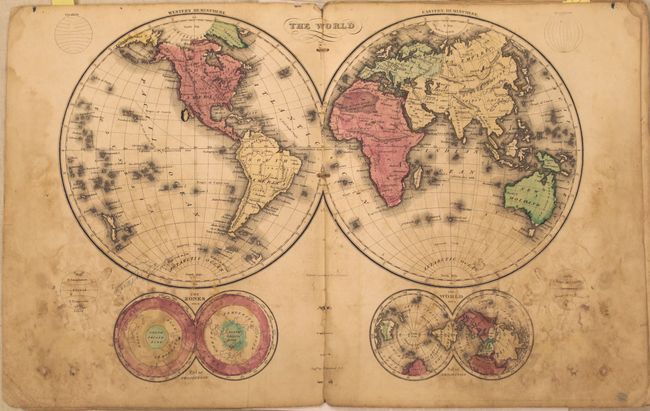
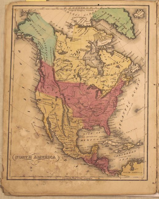
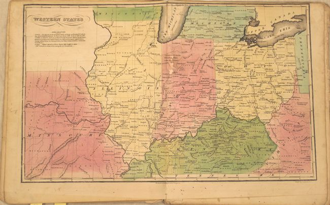
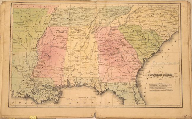
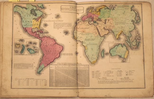
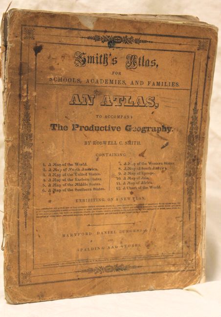
This small school atlas was designed to accompany Smith's The Productive Geography. The atlas contains 12 maps, including two world maps, one for each of the five continents, a United States map, and four regional maps of the U.S. The United States map depicts large Iowa, Missouri and Oregon Territories. There is no border between the United States and British America in the northwest, reflecting the disputed claims of Oregon Territory. Arkansas, which was admitted as a state in 1836, extends west to the Mexican border. The regional maps show county lines, towns with their approximate populations, and topography. The length of rivers are noted, and miniature vessels along the rivers indicate how far up river ships of various sizes can navigate. Original illustrated paper covers.
References:
Condition: C+
Original color with the maps ranging from fair to good with some damp stains, soiling and pencil/ink notations in the image. The double hemisphere world map is heavily damp stained with an abrasion to the left of Baja California. The map of the Middle States is loose and a few of the maps are bound upside down. Covers are soiled and chipped.