Subject: Holy Land
Period: 1858-70 (circa)
Publication:
Color: Hand Color
Lot of 2 maps showing the regions of present-day Israel, Jordan, Lebanon, and Syria. The maps are filled with place names and collectively show roads, political divisions, topography, and rivers.
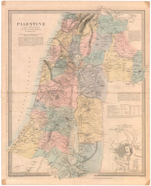
A. Palestine with the Hauran and the Adjacent Districts, by SDUK, dated 1858 (12.6 x 15.3"). With inset Plan of Jerusalem. Engraved by W. Hughes. Condition: Light toning and faint offsetting. There are several tears and separations that have been closed with archival tape, including three tears in blank margins and two centerfold separations.
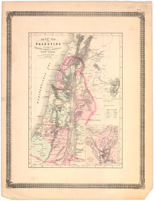
B. Map of Palestine, by Taintor & Merrill, circa 1870 (10.3 x 14.7"). With inset The Peninsula of Mount Sinai. Condition: A few scattered stains with several tears in blank margins, two of which enter outer border, that have been archivally repaired.
References:
Condition: B+
See descriptions above.