Catalog Archive
Auction 146, Lot 624
"A Correct Map of the Ottoman Empire, Including all the Countries Possess'd by, or Tributary to the Turks, in Europe, Asia and Africa…", Bowen, Thomas
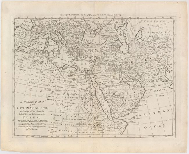
Subject: Mediterranean, Middle East, & Northern Africa
Period: 1788 (circa)
Publication: Bankes's New System of Geography
Color: Black & White
Size:
16.5 x 12.4 inches
41.9 x 31.5 cm
Download High Resolution Image
(or just click on image to launch the Zoom viewer)
(or just click on image to launch the Zoom viewer)