Catalog Archive
Auction 146, Lot 581
"Turchia d'Europa Divisa nelle sue Provincie, e Governi di Nuova Projezione", Zatta, Antonio
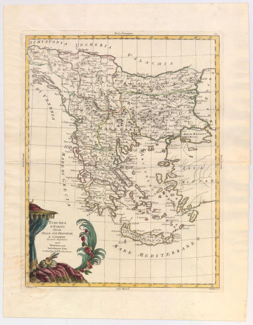
Subject: Balkans
Period: 1782 (dated)
Publication:
Color: Hand Color
Size:
12.3 x 15.9 inches
31.2 x 40.4 cm
Download High Resolution Image
(or just click on image to launch the Zoom viewer)
(or just click on image to launch the Zoom viewer)