Catalog Archive
Auction 146, Lot 562

"Germania Antiqua in Quatuor Magnos Populos, in Minores et Minimos Distincta ...", Robert de Vaugondy, Didier

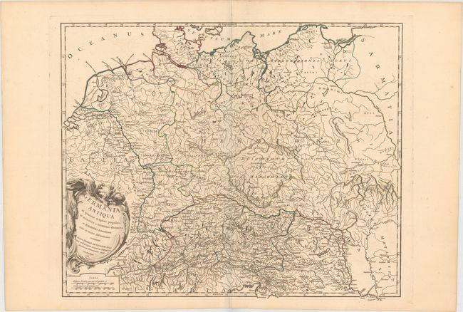
Subject: Eastern Europe, Germany

Period: 1756 (dated)

Publication: Atlas Universel

Color: Hand Color

Size:
22.9 x 18.9 inches
58.2 x 48 cm
Download High Resolution Image
(or just click on image to launch the Zoom viewer)

This finely engraved map illustrates the geographical regions of Europe that, in ancient times, were east of Gaul and outside of Roman control. It extends from eastern France through Poland and from the North Sea to the Adriatic. It shows the various tribes, towns, and ancient divisions of the region. It is embellished with a beautiful title cartouche engraved by Elisabeth Haussard. It was published in 1757 as part of the first edition.

References: Pedley #247.

Condition: A

Fine original outline color, a sharp impression, and wide original margins with faint soil in the margins.

Estimate: $200 - $250

Sold for: $130

Closed on 9/4/2013

Archived