Catalog Archive
Auction 146, Lot 494

"Normannia Galliae Celebris Provincia in Terras Suas et Ballisiatus Divisa...", Homann Heirs

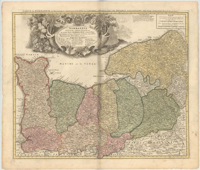
Subject: Northern France

Period: 1750 (circa)

Publication:

Color: Hand Color

Size:
22.3 x 18.6 inches
56.6 x 47.2 cm
Download High Resolution Image
(or just click on image to launch the Zoom viewer)

Detailed map of the Normandy coast based on the cartography of Delisle. The large, beautifully engraved title cartouche is surrounded by scenery, farming implements, produce, and the coat of arms.

References:

Condition: B

Original color with minor toning along centerfold, a few spots in the image, and faint soiling. There is a printer's crease that runs adjacent to the centerfold and a small centerfold separation at top that does not enter the map.

Estimate: $140 - $170

Sold for: $100

Closed on 9/4/2013

Archived