Catalog Archive
Auction 146, Lot 481

"Chart of the British Channel with the Opposite Coast of the United Kingdom, and the Republic of France", Russell, John C.

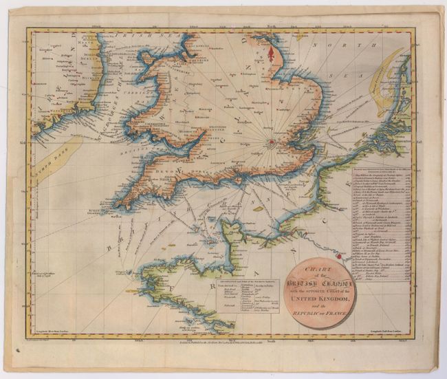
Subject: English Channel

Period: 1803 (dated)

Publication:

Color: Hand Color

Size:
16.7 x 13.2 inches
42.4 x 33.5 cm
Download High Resolution Image
(or just click on image to launch the Zoom viewer)

This handsome chart centering on the English Channel stretches from the eastern coast of Ireland to France. The distances between various destinations across the channel are shown, and notable sea battles are marked. Two informative tables flank the cartouche, the first a departure schedule for the packet ships, and the second a list of the sites and dates of invasions on British and Irish soil. Published by J. Stratford.

References:

Condition: B+

Issued folding, now pressed and backed with old paper with light soiling along folds.

Estimate: $300 - $375

Unsold

Closed on 9/4/2013

Archived