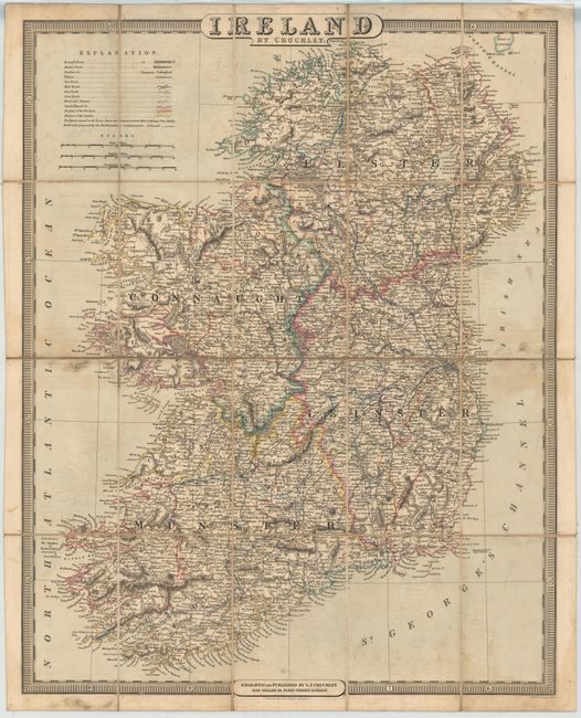
Subject: Ireland
Period: 1842 (dated)
Publication:
Color: Hand Color
Size:
19.8 x 24.7 inches
50.3 x 62.7 cm
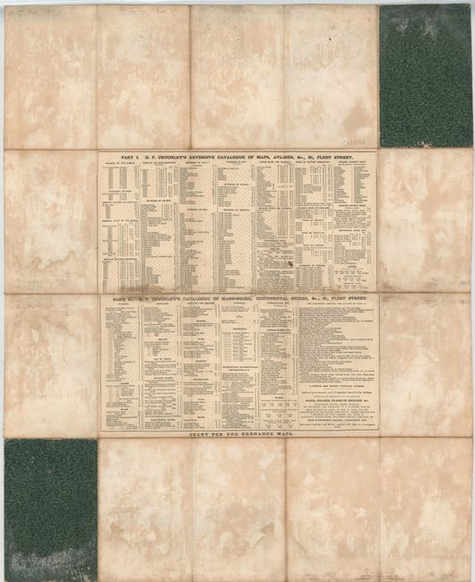
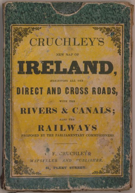
This detailed map of Ireland shows political delineations as well as towns and villages, roads, rivers, canals and several proposed railroads leading out of Dublin. The map was produced just a few years before the Irish Potato Famine and almost certainly shows towns and villages that ceased to exist a few years later. Dissected into twenty panels and backed in linen with Cruchley's catalog of maps pasted on the verso. Folds into a titled green paper slip case.
References:
Condition: B
The map has light offsetting and toning with some minor soiling near the corners of the sheet. Slip case is worn and soiled, but still intact.