Catalog Archive
Auction 146, Lot 391
"A New & Accurate Map of Europe, Drawn from the Best Authorities", Bowen, Thomas
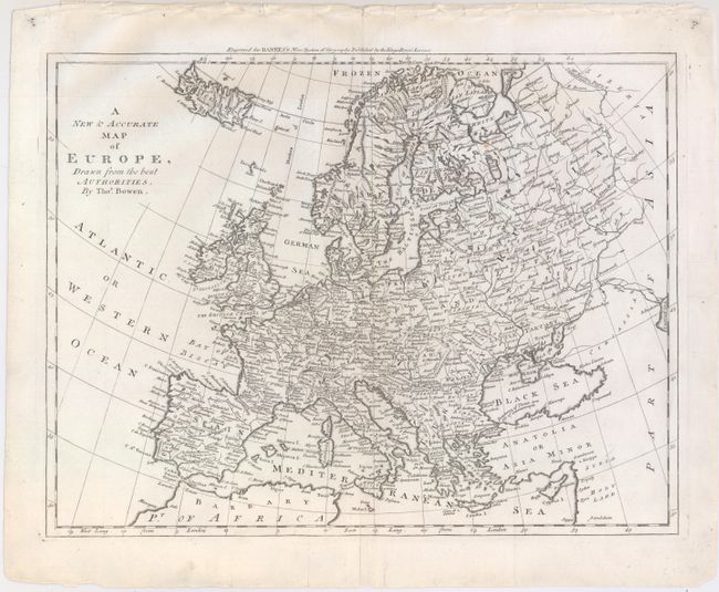
Subject: Europe
Period: 1787 (circa)
Publication: Bankes's New System of Geography
Color: Black & White
Size:
16.9 x 12.9 inches
42.9 x 32.8 cm
Download High Resolution Image
(or just click on image to launch the Zoom viewer)
(or just click on image to launch the Zoom viewer)