Catalog Archive
Auction 146, Lot 317
"Carte de l'Isle de la Martinique, Colonie Francoise dans les Isles Antilles", Bonne, Rigobert
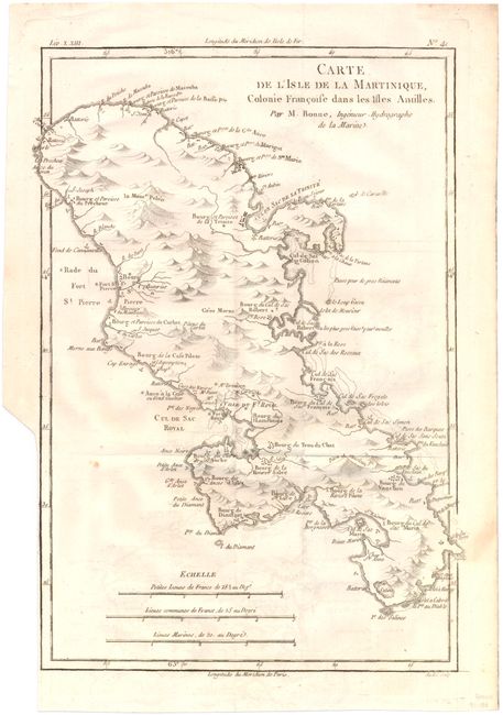
Subject: Martinique
Period: 1774 (circa)
Publication:
Color: Black & White
Size:
8.5 x 12.4 inches
21.6 x 31.5 cm
Download High Resolution Image
(or just click on image to launch the Zoom viewer)
(or just click on image to launch the Zoom viewer)