Subject: New York City, New York
Period: 1917 (dated)
Publication:
Color: Black & White
Size:
12 x 19.8 inches
30.5 x 50.3 cm
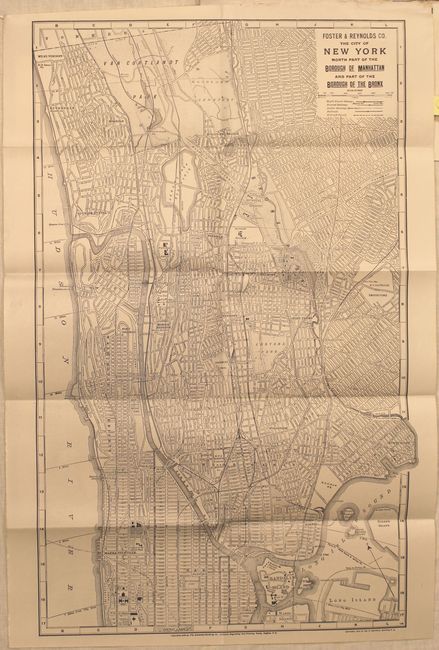
This two-sided map covers the entire island of Manhattan. The southern side covers the area from Battery Park to the northern edge of Central Park while the northern map depicts the region from 111th St. to Van Cortlandt Park. The maps show the very detailed street pattern, subways, railroads, boat slips, ferry boat routes, bridges and tunnels. Lithographed by Matthews-Northrup.
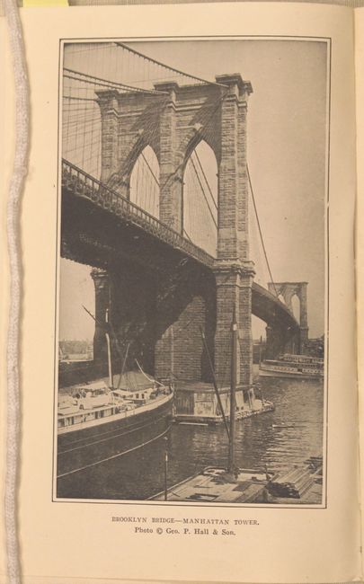
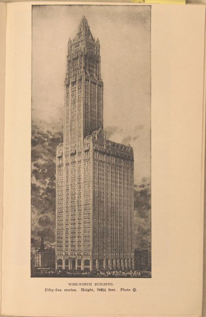
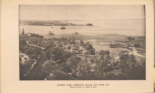
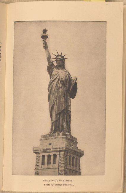
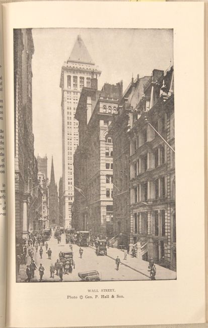
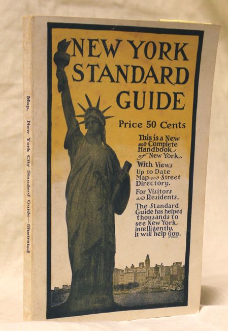
The map is still bound into the 1917 edition of the New York Standard Guide (5 x 8"), a comprehensive tourist guide that has "helped thousands to see New York intelligently." Numerous illustrations (some full page) of important landmarks are interspersed throughout the text including Brooklyn Bridge, the Woolworth Building, Battery Park, Statue of Liberty and Wall Street to name a few. 133pp. with street guide, index and 48pp. of advertisements following the text. Published by The Foster & Reynolds Co.
References:
Condition: A
The map is issued folding and near fine. The text and illustrations are clean and bright and the covers show minimal wear.