Catalog Archive
Auction 146, Lot 197

"[Lot of 2] California [and related text] The State of California", Colton, Joseph Hutchins
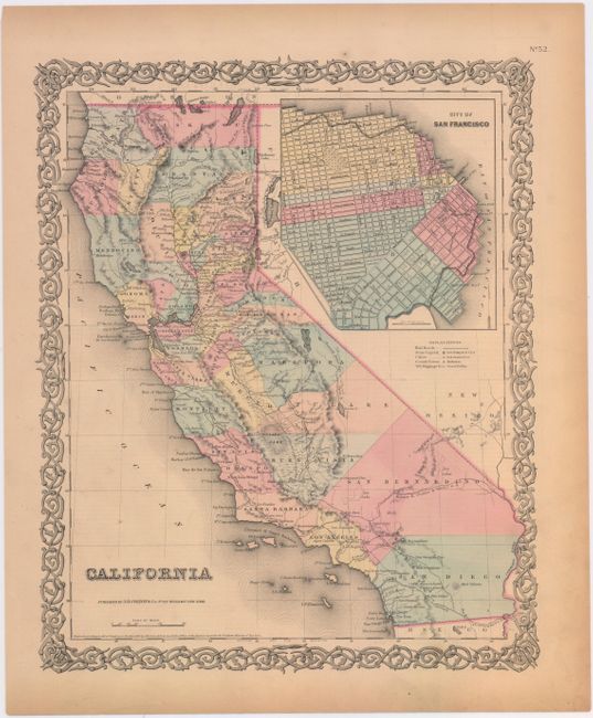
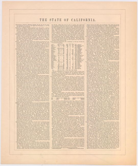
Subject: California

Period: 1855 (dated)

Publication:

Color: Hand Color

Size:
12.8 x 15.7 inches
32.5 x 39.9 cm
Download High Resolution Image
(or just click on image to launch the Zoom viewer)

This attractive map of California shows the entire state with Utah and New Mexico territories on the eastern border. Two railroad routes through the Central Valley are labeled "Atlantic & Pacific R.R." and a northern route through Fredonyers Pass, north of Pyramid Lake, is marked "Practicable Route for Atlantic & Pacific R.R." A huge inset titled "City of San Francisco" shows the planned land expansion into the bay with the streets already drawn in.

Included with the map is a page of text describing the state's key features and population statistics.

References:

Condition: B+

Lightly toned.

Estimate: $160 - $200

Sold for: $80

Closed on 9/4/2013

Archived