Subject: Texas, Oklahoma
Period: 1873 (circa)
Publication: Atlas of the United States
Color: Hand Color
Size:
14.9 x 12 inches
37.8 x 30.5 cm
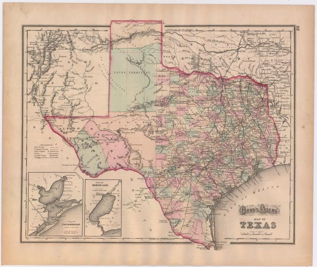
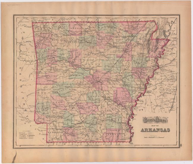
A. Gray's Atlas Map of Texas. This handsome map is filled with detail and includes insets of Galveston Bay and Sabine Lake. There is a large secondary Bexar region in the West that is yet to be subdivided into counties. The huge unorganized Young Territory fills the panhandle; in fact the area was subdivided into more than 50 new counties that year. Curiously Greer County is shown as part of Indian Territory, which didn't happen until 1896. Gray's Map of Arkansas is on verso. Condition: Light toning along the edges of the sheet. (A)
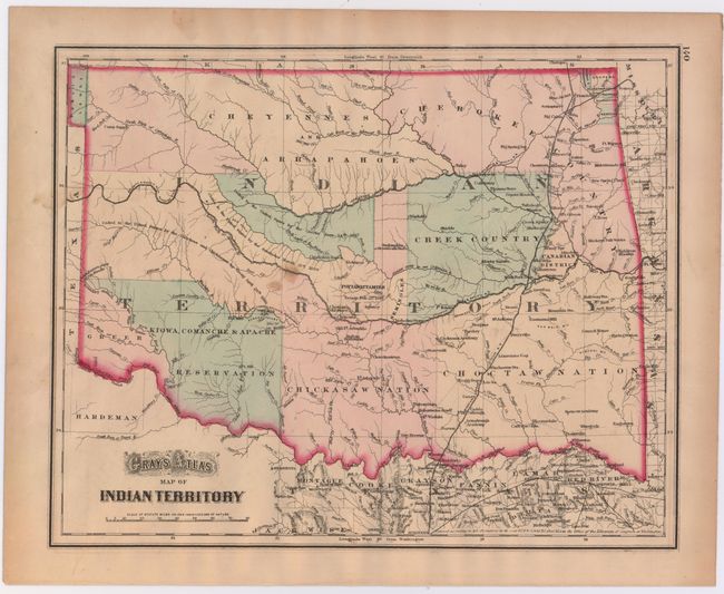
B. Gray's Atlas Map of Indian Territory. This handsome map shows just a hint of the panhandle, here labeled "Public Lands." The territory is divided among the major tribes including the nations of the Kiowa, Comanche & Apache; Chickasaw; Choctaw; Creek; Cheyennes; Cherokee, and several more. The map was printed from the Colton plate, and was registered by G.W. & C.B. Colton in 1872. Condition: There are a few small spots in the image with light toning along the edges of the sheet. (B+)
References:
Condition:
See descriptions above.