Subject: South-Central United States
Period: 1905 (dated)
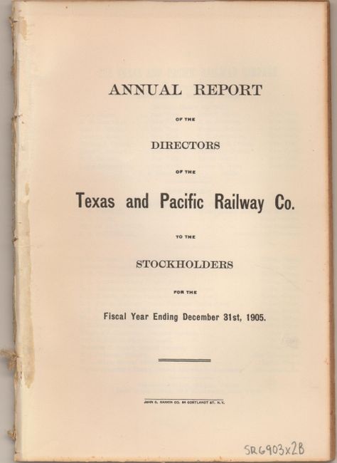
Publication: Annual Report of the Directors of the Texas and Pacific Railway
Color: Printed Color
Size:
23 x 17.8 inches
58.4 x 45.2 cm
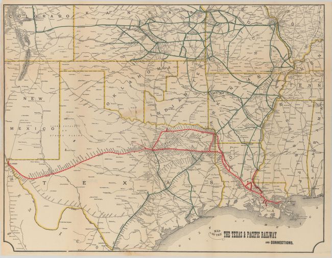
This large folding map uses red overprinting to detail the line between New Orleans, Shreveport, Dallas, Fort Worth and terminating in El Paso. A loop line travels from Marshall to Texarkana to Sherman and then south to Fort Worth. A few short spur lines are delineated including to Thibodeaux and Marksville. Centered on Texas, the extensive rail system spreads throughout much of Louisiana, Arkansas, Indian Territory, Oklahoma, Missouri, Kansas and Colorado. Also named and delineated with green overprinted color; the Texas & Pacific, San Antonio Div. Int. & Gt. Nor. Gulf Railroads and several more, with all rail stations noted. Connections reach Pueblo, Wichita, Kansas City, St. Louis, Memphis, to mention a few. There is good detail of towns and wagon roads of the day. Accompanied by original 58-page report "Annual Report of the Directors of the Texas and Pacific Railway Co. to the Stockholders for the Fiscal Year Ending December 31st, 1905."
References:
Condition: B+
Issued folding with an edge chip and tear at bottom closed with archival material and a small abrasion in southern Oklahoma. There are several small holes along the centerfold where the map was bound in the report.