Catalog Archive
Auction 146, Lot 181

"[Lot of 3] A New Map of Georgia with Its Roads & Distances [and] A New Map of Alabama with Its Roads & Distances [and] A New Map of Mississippi with Its Roads & Distances", Tanner, Henry Schenck

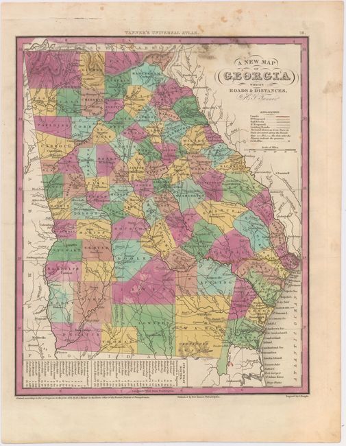
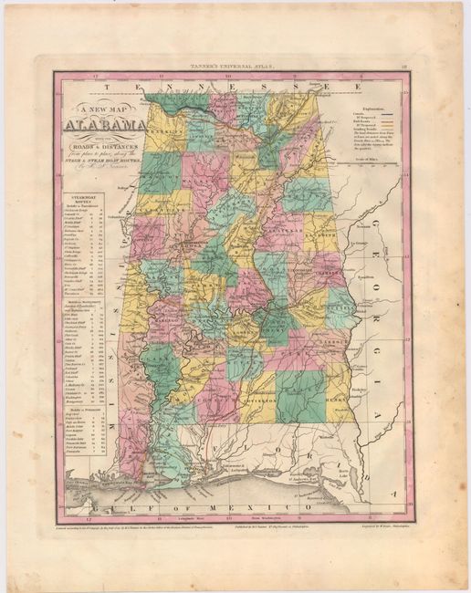
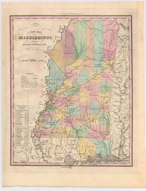
Subject: Georgia, Alabama, Mississippi

Period: 1833-41 (dated)

Publication: Universal Atlas

Color: Hand Color

Size:
10.5 x 13 inches
26.7 x 33 cm
Download High Resolution Image
(or just click on image to launch the Zoom viewer)

This attractive lot features three maps of the south from Tanner’s Universal Atlas, a quarter century before the Civil War. Each of the maps is hand colored to show county configurations with legends noting the steamboat routes and distances. Railroads and canals are also depicted.

A. A New Map of Georgia with Its Roads & Distances, dated 1833. Condition: Light soiling in the upper portion of the image with a few damp stains. (B)

B. A New Map of Alabama with Its Roads & Distances, dated 1841. Condition: There are a few tiny spots in the image and minor soiling confined to the blank margins. (B+)

C. A New Map of Mississippi with Its Roads & Distances, circa 1841. Condition: (A)

References:

Condition:

See descriptions above.

Estimate: $350 - $450

Sold for: $400

Closed on 9/4/2013

Archived