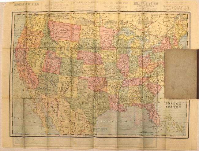
Subject: United States
Period: 1896 (published)
Publication:
Color: Printed Color
Size:
21.8 x 15.3 inches
55.4 x 38.9 cm
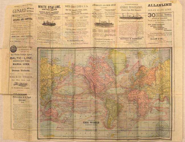
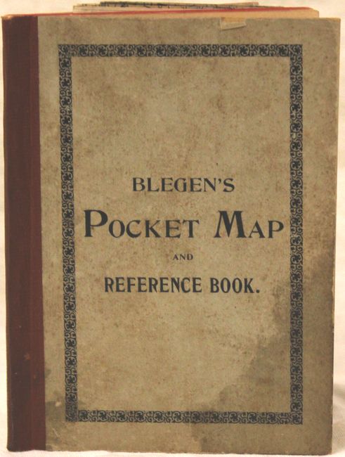
This pocket map depicts the United States on verso and the world on Mercator's projection on recto. The map of the U.S. shows place names, railroads, rivers and topography. The region of present-day Oklahoma is shown split between Indian Territory and Oklahoma Territory. Yellowstone is labeled simply National Park. The map of the world shows the ocean currents with several advertisements for steamship companies surrounding it. Includes 69 pp. of text showing railroad fares from Chicago, an index and other statistical information. Published by J. Blegen in Chicago and folds into stiff gray covers.
References:
Condition: B
Issued folding with several short splits at fold intersections and a 3" separation from the left side of the sheet. The text is tight with light toning, and the covers have some minor stains and soiling.