Subject: United States
Period: 1884 (dated)
Publication:
Color: Printed Color
Size:
11.6 x 7.5 inches
29.5 x 19.1 cm
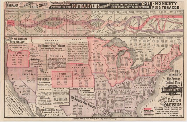
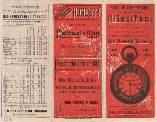
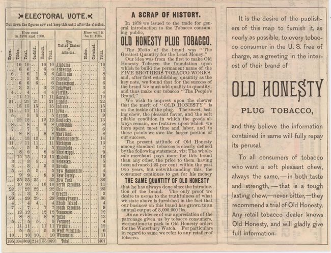
This small folding map of the United States shows the 1880 presidential election results contested between James Garfield and Winfield Hancock. States highlighted in pink were won by Garfield (Republican) and states colored gray were won by Hancock (Democrat). In terms of popular vote, it was one of the closest races in history and very closely followed the division established by the Civil War. Many consider this election a referrendum on the end of Reconstruction in the South. Above the map is a fascinating chart showing election results by party over time, with the newly formed Republican party dominating the results since the Civil War. The map was produced for "Old Honesty Tobacco" by Rand, McNally with several advertisements and tables on verso.
References:
Condition: A+
Issued folding in mint condition.