Subject: Atlases
Period: 1890 (circa)
Publication:
Color: Printed Color
Size:
11 x 13.3 inches
27.9 x 33.8 cm
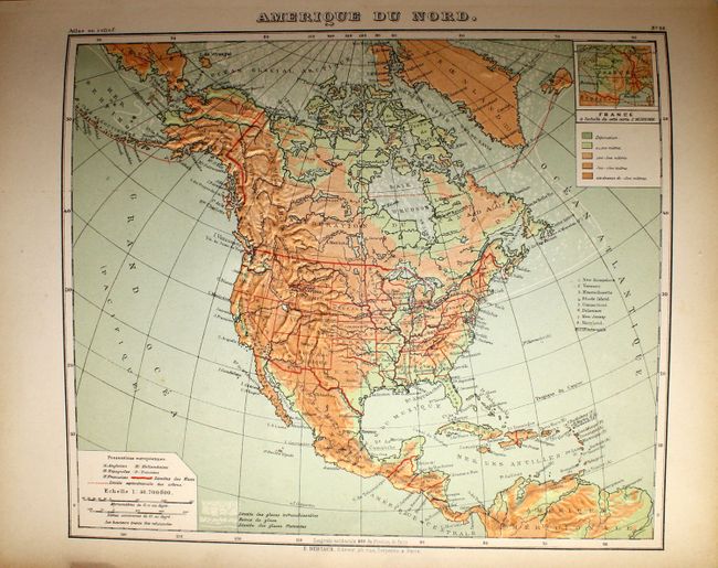
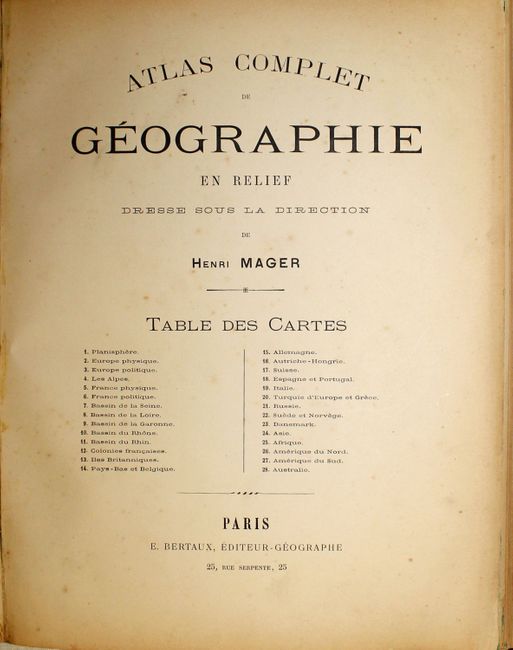
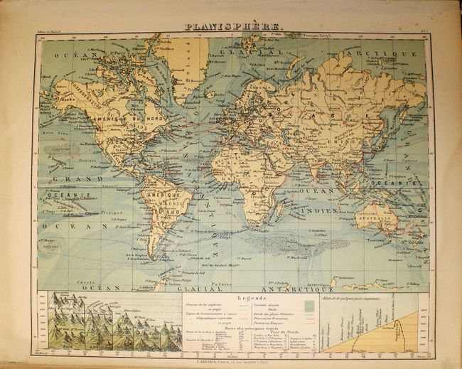
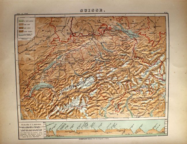
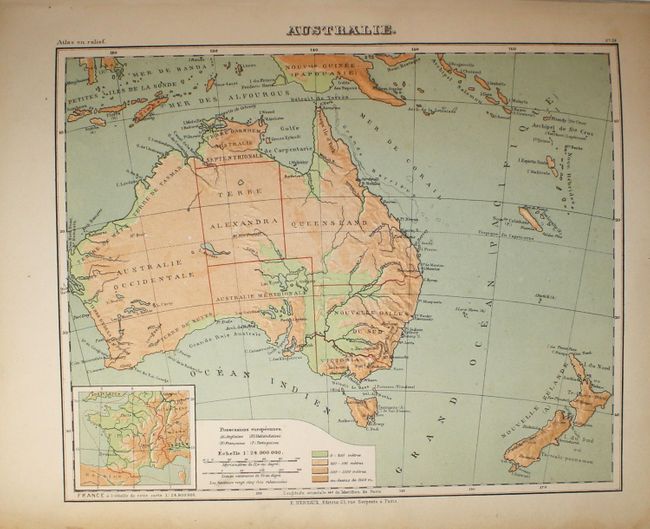
This unique French atlas presents 28 maps of the world, of which 25 are in raised-relief. The atlas includes maps of the world, North America, South America, Africa, Asia, Europe, Australia, individual European countries, and regions within France. The three maps that are not in raised-relief are the world and the political maps of Europe and France. The map of North America identifies European possessions and depicts a large Dacota Territory, Alaska Territory, and Territ des Indiens in Oklahoma. The atlas was created by Henri Mager and published by Emile Bertaux. Small folio with title page and 28 maps. Hardbound with embossed dark green cloth-covered boards with gilt titling on front cover and spine.
References:
Condition: B+
The maps are lightly toned with a few scattered spots of foxing. The binding is sound and the covers show light wear. A very nice example.