Catalog Archive
Auction 145, Lot 540

"Carte de l'Empire d'Allemagne Divise en ses Dix Cercles...", Robert de Vaugondy, Didier

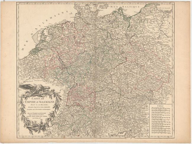
Subject: Central Europe

Period: 1756 (dated)

Publication: Atlas Universel

Color: Hand Color

Size:
21.8 x 18.8 inches
55.4 x 47.8 cm
Download High Resolution Image
(or just click on image to launch the Zoom viewer)

Highly detailed map covers the Low Countries, Germany, Bohemia and Poland. Shows political divisions, numerous place names, rivers and topography. Decorated by an attractive title cartouche perched by an eagle and surrounded by a garland.

References: Pedley #243.

Condition: B+

Original outline color on watermarked paper with an archivally repaired centerfold separation that enters 0.5" into map at bottom, a few small spots, and a few edge tears confined to the blank margins.

Estimate: $80 - $100

Sold for: $50

Closed on 6/12/2013

Archived