Catalog Archive
Auction 145, Lot 409

"A New & Accurate Chart of the Western or Atlantic Ocean Drawn from the Most Approved Modern Maps &c", Bowen, Thomas

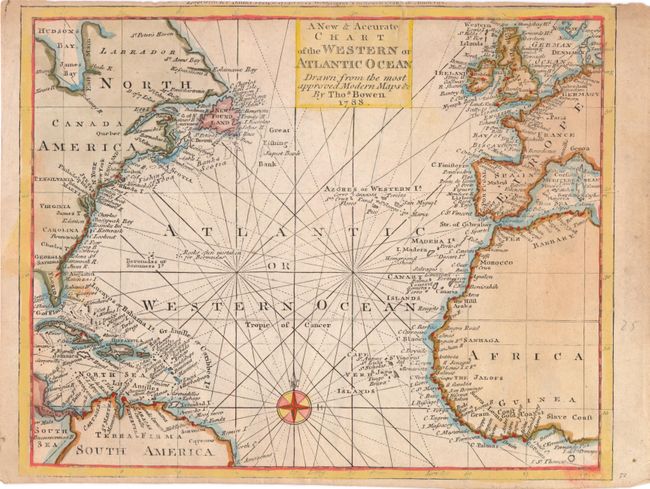
Subject: Atlantic Ocean

Period: 1788 (dated)

Publication: Banke's New System of Geography

Color: Hand Color

Size:
10.5 x 8.4 inches
26.7 x 21.3 cm
Download High Resolution Image
(or just click on image to launch the Zoom viewer)

Finely engraved small chart centered on the Atlantic, including a small part of South America, the Caribbee Islands, Newfoundland, western Africa, and Europe. The map identifies important water features, towns, and islands along the coasts. The map is crossed with rhumb lines and adorned with a simple compass rose.

References: Shirley (BL Atlases) T.BANK-1A #9.

Condition: B

Stains from cello tape that have since been removed. One short tear at top margin, extending 0.5" into map image, has been repaired with archival tape. Trimmed close to neatline at bottom and top, with loss of publisher's imprint at top.

Estimate: $140 - $180

Sold for: $100

Closed on 6/12/2013

Archived