Subject: Galveston Bay, Texas
Period: 1870 (dated)
Publication:
Color: Black & White
Size:
39 x 32.5 inches
99.1 x 82.6 cm
The Office of Coast Survey is the oldest U.S. scientific organization, dating from 1807 when Congress directed that a "survey of the coast" be carried out. By 1836, it was called the U.S. Coast Survey and in 1878, the name was changed to the U.S. Coast and Geodetic Survey. Today the Office of Coast Survey is a division of the National Oceanic and Atmospheric Administration NOAA.
The survey teams, composed of civilians as well as Army and Naval officers, charted the nation's waterways and produced a wide array of reports, survey charts, hydrographic studies of tides and currents, astronomical studies and observations, and coastal pilots. These charts are an important record of the changing nature of the nation's coastlines. In additional to coastal charts, the U.S. Coast and Geodetic Survey produced land sketches, Civil War battle maps, and the early aeronautical charts.
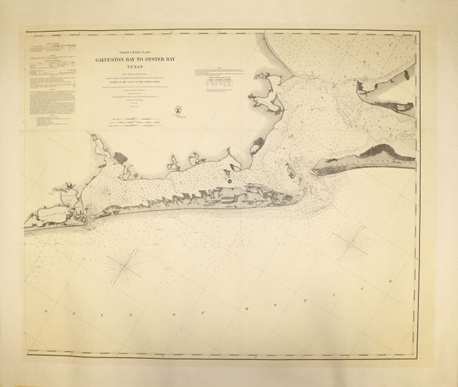
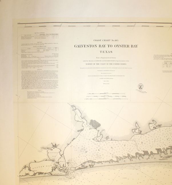
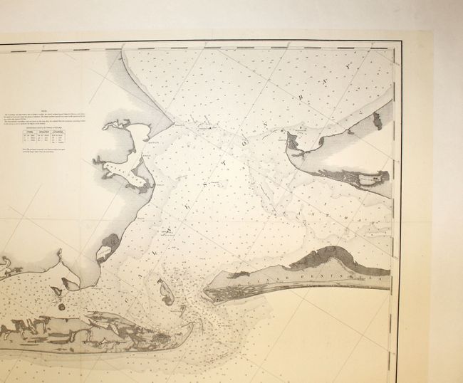
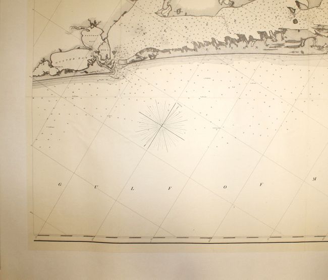
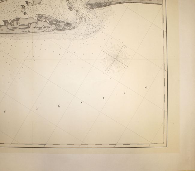
This large striking sea chart depicts the entrance to Galveston Bay, with the city located on Galveston Island. Oyster Bay, Bastrop Bay, Chocolate Bay, and numerous small lakes are also named, including Moses Lake, and Swan Lake. The chart is filled with hundreds of depth soundings and includes notes on tides, bottoms, dangers, and winds with detailed navigational notes. Features the seal of the U.S. Coast Survey.
References:
Condition: B+
Issued folding, now pressed and backed in canvas to repair some short separations and tiny holes along folds and at fold intersections. A very clean and bright example.