Catalog Archive
Auction 144, Lot 76

"Carte de la Riviere de Cook, dans la Partie N. O. de l'Amerique", Bonne, Rigobert

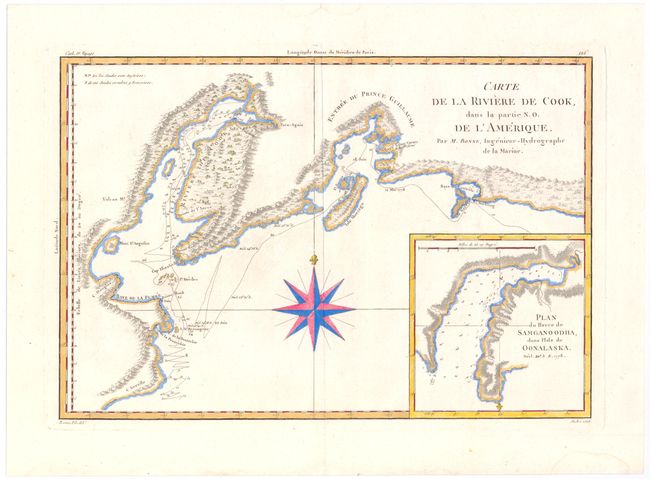
Subject: Southern Alaska

Period: 1787 (circa)

Publication:

Color: Hand Color

Size:
13.6 x 9.3 inches
34.5 x 23.6 cm
Download High Resolution Image
(or just click on image to launch the Zoom viewer)

This handsome map shows Capt. Cook's discoveries in Prince William Sound and Cook Inlet and includes the track and anchor points of the Resolution. The map is inset with Plan du Havre de Samganoodha, dans l'Isle de Oonalaska. A large compass rose dominates the center.

References:

Condition: B+

Nice impression with wide margins. There are two tiny infilled worm tracks near center of map, else fine.

Estimate: $180 - $220

Sold for: $90

Closed on 4/3/2013

Archived