Catalog Archive
Auction 144, Lot 251

"Carte de l'Isle de Ceylan pour Servir a l'Histoire Generale des Voyages", Bellin, Jacques Nicolas
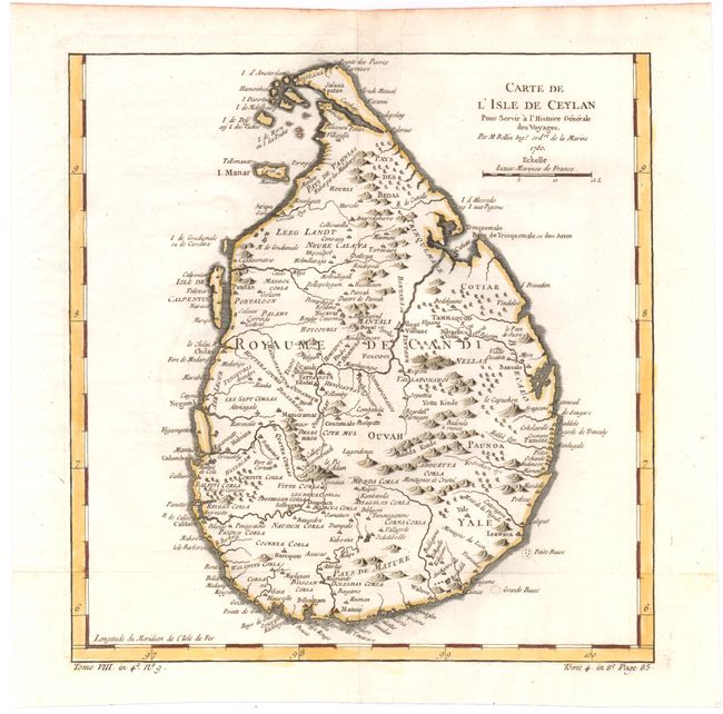
Subject: Sri Lanka

Period: 1750 (dated)

Publication: Prevost's Histoire Generale des Voyages

Color: Hand Color

Size:
9.7 x 10.2 inches
24.6 x 25.9 cm
Download High Resolution Image
(or just click on image to launch the Zoom viewer)

Fine map of the island of Ceylon, present-day Sri Lanka, showing harbors along the coast including Colombo, Trincomalee, Chilaw, and Negombo, as well as many small towns and settlements inland. The Isle de Calpentin, now the Kalpitiya Peninsula, Mannar Island, and several smaller islands are included off the west coast. Ceylon's shorelines are well defined depicting capes, bays, and points, and the island is filled with pictorial depictions of mountains and trees.

References:

Condition: A

Issued folding on watermarked paper, now pressed.

Estimate: $160 - $200

Sold for: $110

Closed on 4/3/2013

Archived