Catalog Archive
Auction 144, Lot 224
"Map of Asia Showing its Gt. Political Divisions, and, also, the Various Routes of Travel between London & India, China & Japan &c.", Mitchell, Samuel Augustus
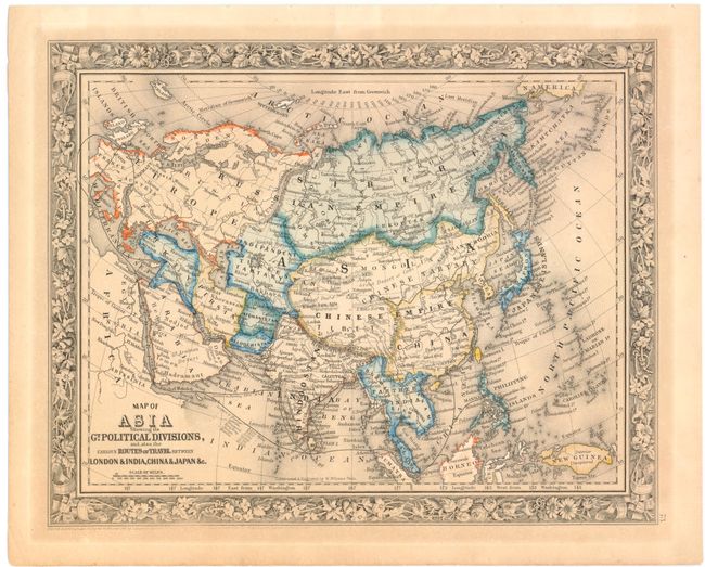
Subject: Asia
Period: 1860 (dated)
Publication: New General Atlas
Color: Hand Color
Size:
13.3 x 10.6 inches
33.8 x 26.9 cm
Download High Resolution Image
(or just click on image to launch the Zoom viewer)
(or just click on image to launch the Zoom viewer)