"Plan de la Forest de Laye, et de la Garenne du Vezinet, du Bourg de St. Germain dit en Laye, de la Ville de Poissy et de Tout ce qui Est Contenu dans cet Ance que Forme la Riviere de Seine…", Fer, Nicolas de
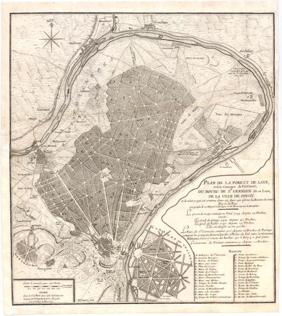
Subject: St. Germain en Laye, France
Period: 1704 (dated)
Publication:
Color: Black & White
Size:
16 x 18 inches
40.6 x 45.7 cm
A wonderful bird's-eye plan of St. Germain en Laye, situated just northwest of Paris, and the neighboring park and countryside. Depicted at bottom center is the heavily forested Garenne Du Vezinet, a 1009 acre region set aside for the Royal Family and the aristocracy for hunting fox, deer, rabbit and small game as part of their daily outdoor recreation. A tributary of the Seine River is shown encircling the forest, with the surrounding towns of Poissy, Chambourcy, Garriere, Conslans and Herbelay. At bottom right is a key identifying numerous locations. Engraved by Antoine Coquart.
References:
Condition: B
A nice impression on watermarked paper with light soiling, a few minute pin holes, and several minor printer's creases. Issued folding, now pressed, with a binding trim at bottom left that has been replaced with old paper. There are several long tears that have been professional repaired.