Catalog Archive
Auction 144, Lot 149

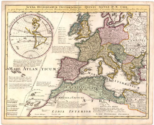
"Scena Historiarum Occidentalis Quinti Seculi P. N. Chr. in qua Imperii Romanorum & Accolarum Barbarorum Status Sistitur Accurate", Weigel, Christopher

Subject: Europe

Period: 1720 (circa)

Publication: Descriptio Obis Antiqui in XLIV

Color: Hand Color

Size:
16 x 12.6 inches
40.6 x 32 cm
Download High Resolution Image
(or just click on image to launch the Zoom viewer)

A handsome map of Europe and north Africa, filled with detail of cities, political boundaries, rivers, and topography. Includes an inset of the western hemisphere with no place names but showing the major rivers and lakes in the New World, the islands in the Pacific, and a partial outline of New Zealand. Off the coast of Africa, the Canary islands are named Fortunatae Insulae. The map also features a number of notations in Latin. Engraved by Michael Kauffer.

References: Shirley (BL Atlases) T.WEIG-2a #43.

Condition: B+

A dark impression with original color, a few small spots, and an archivally repaired tear confined to bottom blank margin.

Estimate: $240 - $300

Sold for: $180

Closed on 4/3/2013

Archived