Subject: World
Period: 1625 (published)
Publication: Purchas His Pilgrimes
Color: Black & White
Size:
7.4 x 5.8 inches
18.8 x 14.7 cm
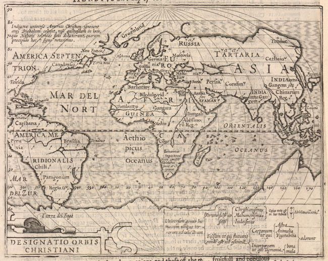
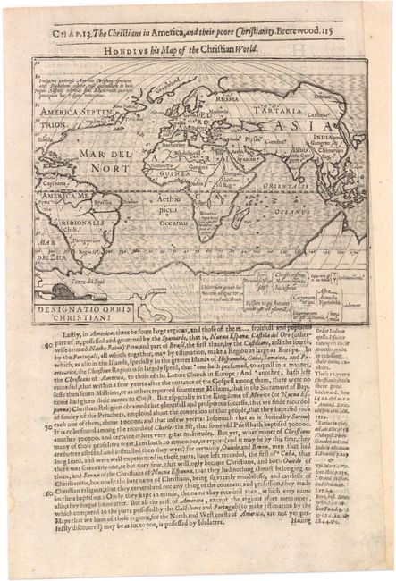
This is one of the first thematic maps. It is drawn on a planispherical projection and uses symbols (identified in the key at bottom) to designate those areas of the world that are Christian (cross), Muslim (crescent), and pagan (arrow). It shows most of the world, excluding the west coast of North America. In Asia, Korea is shown as an island. The Nile rises from twin lakes in southern Africa. There is a huge southern continent that incorporates the landmass of Australia. The title above the map is Hondius his Map of the Christian World. On full sheet of English text (8.5 x 12.5").
At the beginning of the 17th century, Samuel Purchas, an English cleric, set out to publish a compendium of voyages to foreign countries. To illustrate his work, Purchase obtained the rights to use Jodocus Hondius' copperplates from Atlas Minor. Over 60 maps were included in Purchas His Pilgrimes, most of which were from Hondius' plates, with English titles inserted above them. Purchas also had a few additional maps engraved, including those for India, China, Greenland, North America, and Nova Scotia.
References: Shirley #260; Shirley (BL Atlases) G.PUR-1a #3.
Condition: B+
A few tiny spots and some show-through of text on verso. Remargined at right with the top right neatline replaced in facsimile, and backed in tissue.