Subject: Exploration and Surveys
Period: 1857 (dated)
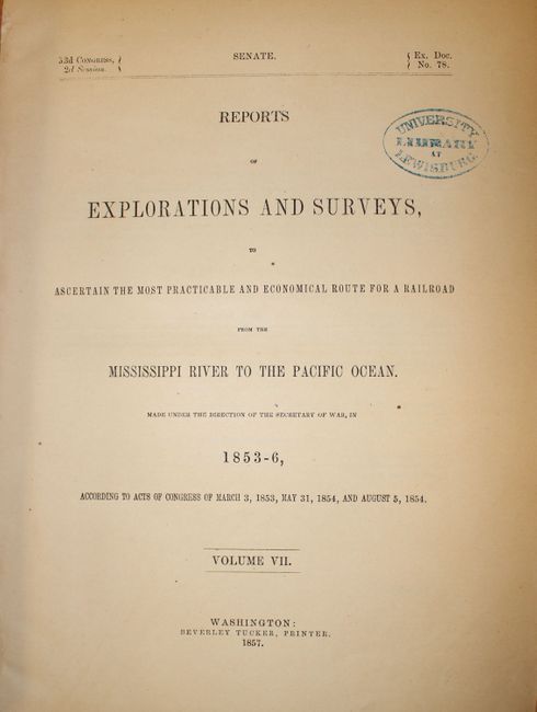
Publication: Ex. Doc. No. 78, 33d Cong., 2d Sess.
Color: Hand Color
Size:
9 x 11.8 inches
22.9 x 30 cm
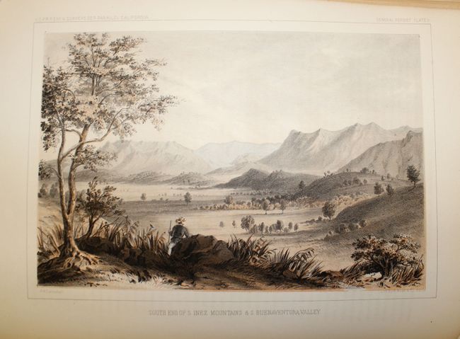
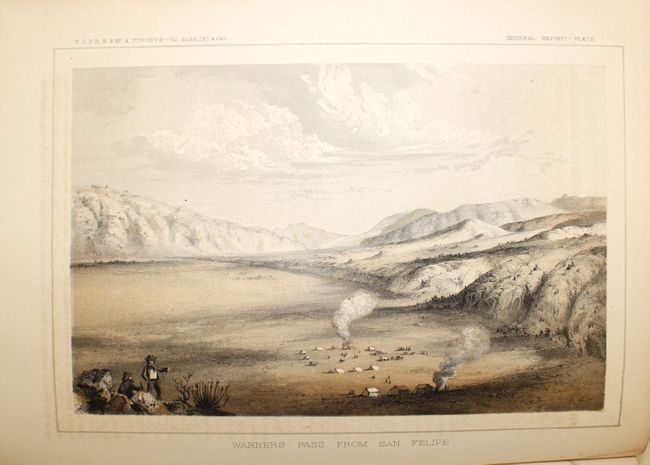
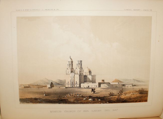
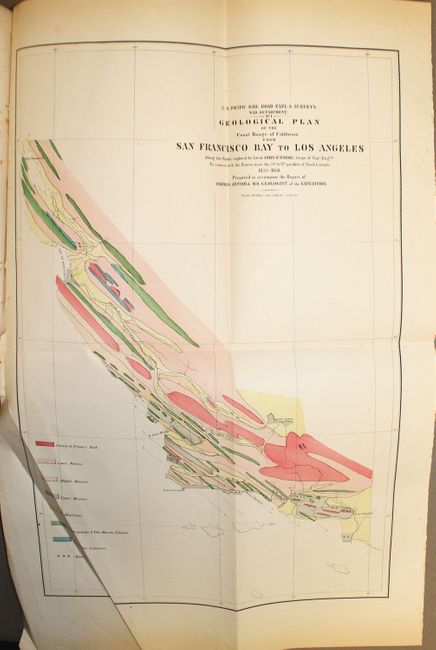
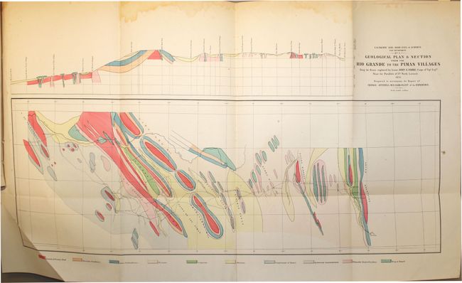
This is volume VII of the monumental surveys used for the planning and design of a railroad between the Mississippi River and the Pacific Ocean. These surveys were instrumental in documenting the unique natural history, biology, geology and ethnology, in addition to the geography of the western U.S. The report contains eight color lithographic views, 41 paleontology, botany and geology plates, and a pair of maps. The first map, Geological Plan of the Coast Range of California from San Francisco Bay to Los Angeles, (11 x 16.75") is a colorful geological map published in the monumental and important railroad surveys of the 1850's. The map has delicate hand coloring applied to reflect geological knowledge. The eight geological types are color-coded per the legend at left according to the surveys of the U.S. Pacific Railroad exploration. The map contains interesting details regarding watershed throughout, especially near the Bay of Monterey. The Kern Lakes are depicted. In Southern California, Los Angeles, Santa Barbara, San Luis Obispo, and more cities are located. Prepared to accompany the report of Thomas Antisell, M.D., Geologist of the Expedition. The other map, Geological Plan and Section from the Rio Grande to the Pimas Villages, (23 x 8.25") also uses attractive hand color to delineate 10 different geological units found along a stretch of land from El Paso to Maricopa Wells. The tracks of Lt. John G. Parke, of the Topographical Engineers are shown, as is the location of the beautiful Mission San Xavier del Bac near Tucson. The map is also shown as a profile in the upper margin. 399 pp., 4to. Hardbound in original embossed brown cloth boards with contemporary spine.
References:
Condition: B+
Maps and plates are good to very good with occasional isolated foxing. The maps have a light damp stain in the upper blank margin and extraneous creases at lower left where they fold into the report. Text is tight and shows some light even-age toning while the covers show only minor wear. Library stamp on title page.