Subject: Geography Books
Period: 1802 (published)
Publication:
Color: Hand Color
Size:
3.5 x 5.4 inches
8.9 x 13.7 cm
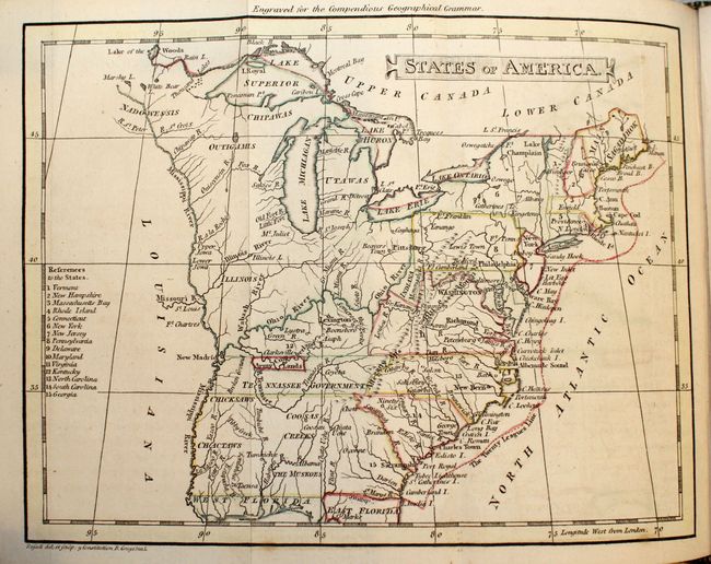
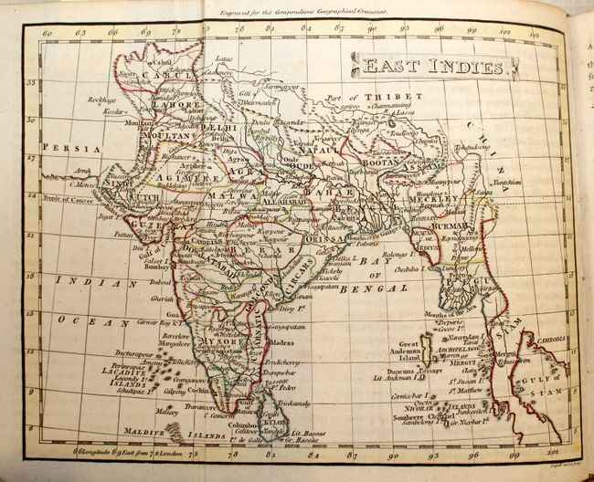
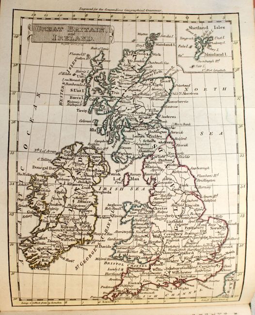
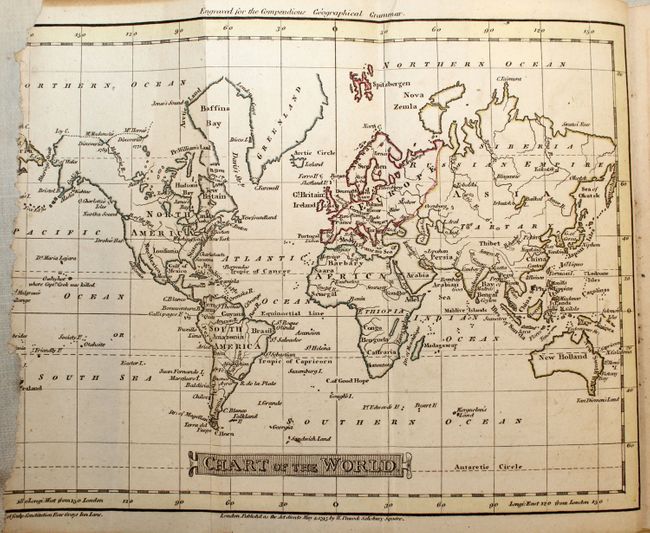
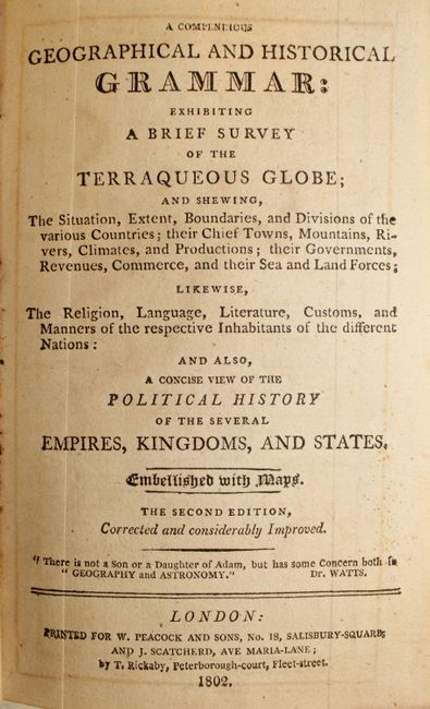
This small geography book contains 13 folding maps drawn by John Russell. Ten are regional maps of Europe, along with one each of the World, United States, and the East Indies. The map of the United States, States of America, shows the borders confined to the east coast, along with Kentucky and Tennessee. The map identifies 15 states as well as the Tennassee Government, which includes Army Lands. Given this book’s publication date of 1802, Tennessee also should have been identified as a state, as it achieved that status in 1796. The text describes the major towns, rivers, and mountains of each country, as well as a general discussion on inhabitants and cultures. 408 pp. 24mo, bound in brown leather with gilt title and embellishments on spine.
References:
Condition: B+
Maps and text are very clean and tight, with the only flaw being some loss of the left portion of the image and border in the world map. The covers and spine are worn and the front cover is detached.