Subject: Atlases
Period: 1846 (published)
Publication:
Color: Hand Color
Size:
9.8 x 12 inches
24.9 x 30.5 cm
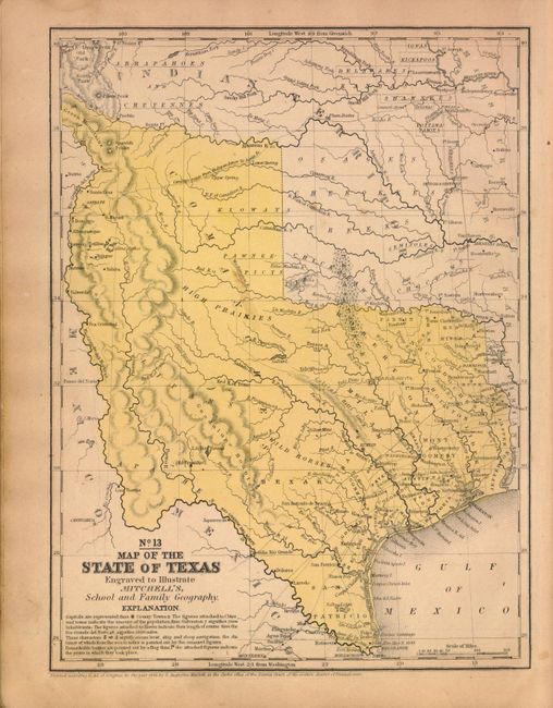
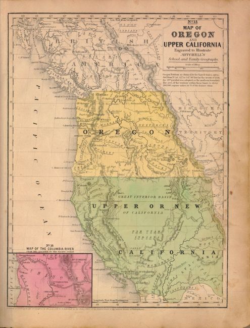
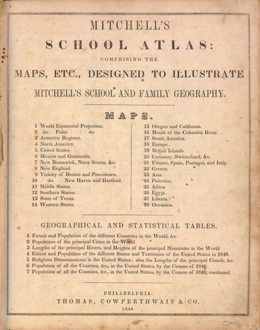
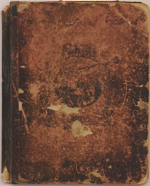
Mitchell's famous school atlas is complete with 28 maps, many double-page, along with tables and statistics. Most of the maps are dated 1839 except the Texas and Western States maps are dated 1846 and show Texas immediately following annexation. Texas is shown in its largest configuration with the stove-pipe panhandle continuing through the Green Mountains in present-day Colorado. This edition is also the first to name Dallas. The double-page map of the United States features the large Oregon Territory filling the Northwest, shows Mexico in control of the Southwest and locates a large area in Texas labeled "Herds of Buffaloes and Wild Horses." Hardbound with pictorial paper over boards. This is the second revised edition, published by Thomas, Cowperthwait & Co.
References:
Condition: C+
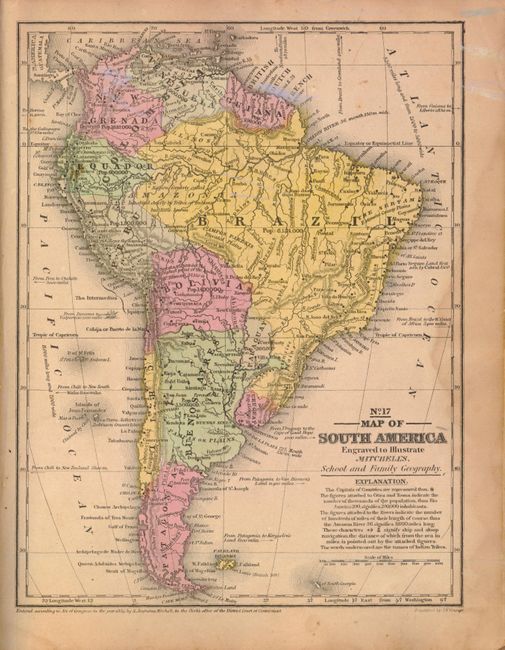
Maps have original color and are generally fair to good with toning, light soiling, and some damp staining along the right side in the back half of the atlas. The maps of South America (No. 17) and Germany (No. 20) have some ink notations in the image, and there are some pencil notations on the verso of one map. The hinge is starting, the spine is somewhat chipped, and the covers are bumped and very worn.