Subject: Atlases
Period: 1830 (circa)
Publication:
Color: Hand Color
Size:
6.3 x 9.5 inches
16 x 24.1 cm
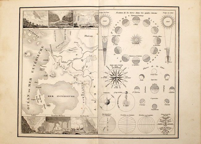
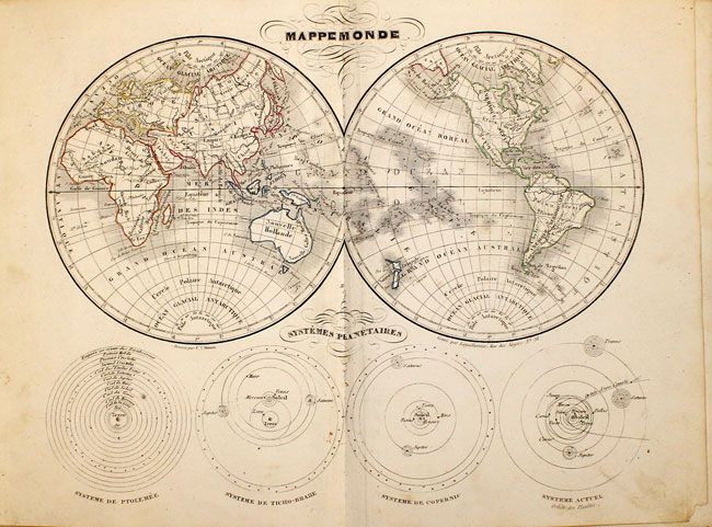
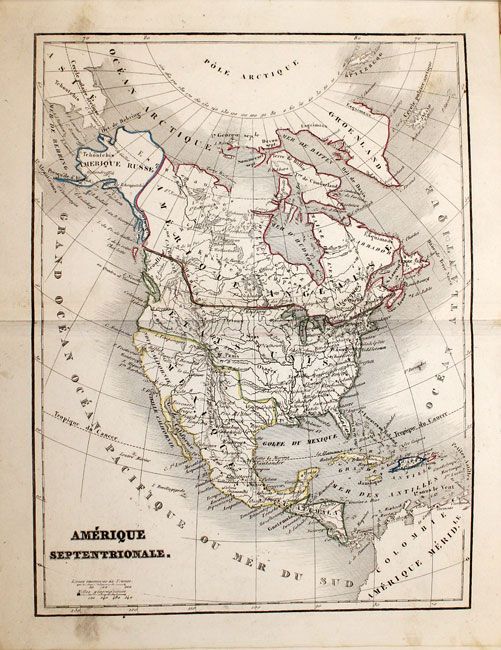
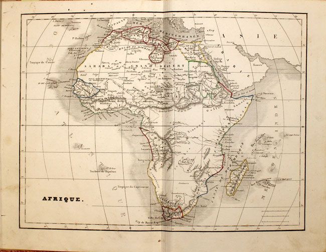
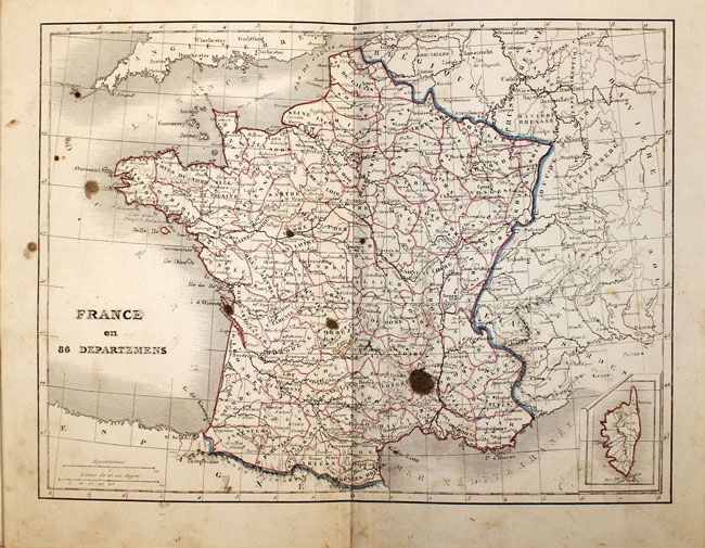
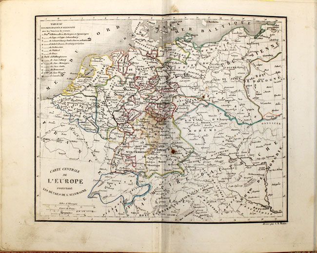
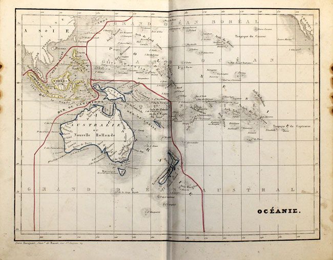
This uncommon French school atlas is complete with ten maps of the World, Continents, France, Central Europe, Oceania, and an interesting chart displaying cartographic terminology and diagrams. Each map shows the political divisions and major topographical features. The map of North America shows the United States encroaching into present-day British Columbia and Texas firmly under the control of Mexico. The map of Africa displays the correct origin of the Nile, the Mountains of the Moon sharply dividing the continent into northern and southern regions, and a mostly blank interior. The map of Oceania provides good detail of the various Pacific island groups. Hardbound in original marbled-paper covered boards with original label on front cover.
References:
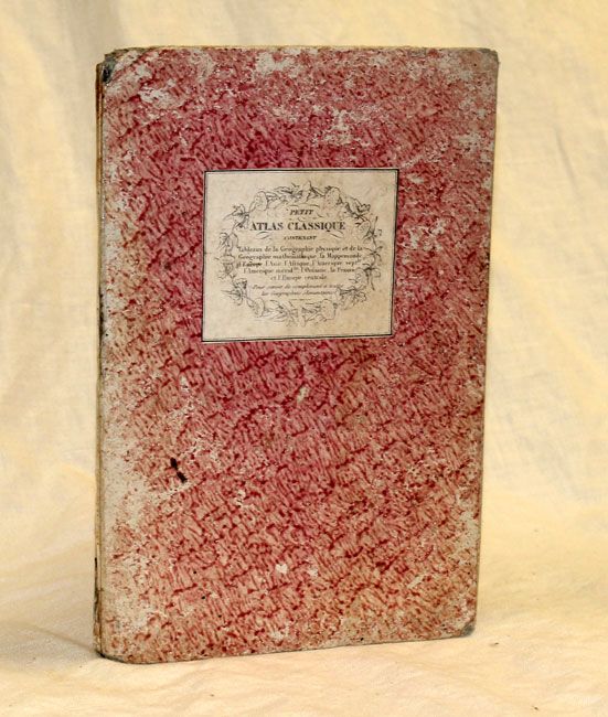
Condition: B+
Geographic maps in original outline color; cartographic diagram uncolored. Maps with minor soil, mostly confined to blank margins. Map of France has several ink spots and map of Central Europe is soiled along the centerfold. Binding sound, starting to crack at spine and with bumped corners.