Subject: Islands of Africa
Period: 1760-1862 (circa)
Publication:
Color:
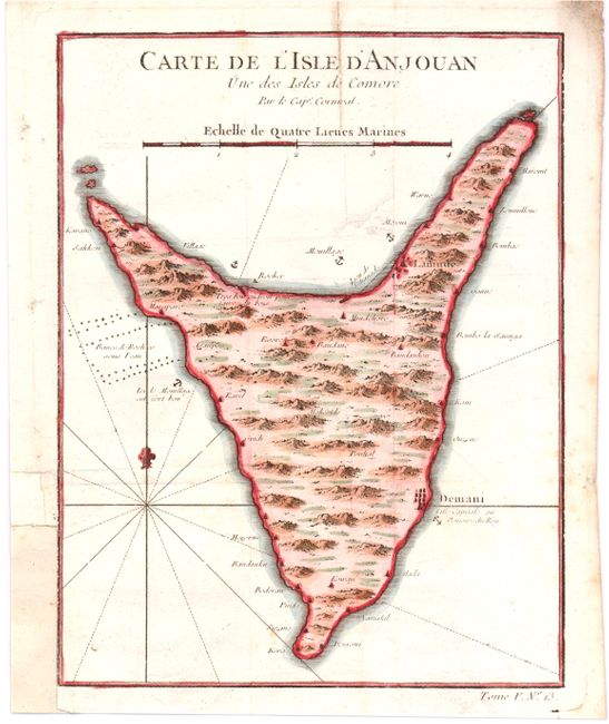
A. Carte de l'Isle d'Anjouan une des Isles de Comore..., by Jacques Nicolas Bellin, circa 1760, hand color (6.4 x 8.3"). An attractive map of Anjouan, also known as Nzwani, an island in the Indian Ocean between Mozambique and Madagascar. Anjouan is one of the four major islands that form the Union of the Comoros. Topography, place names, and anchorages are shown. Condition: Issued folding, now pressed with some light soiling. A binding trim in bottom left margin has been replaced with old paper. (B+)
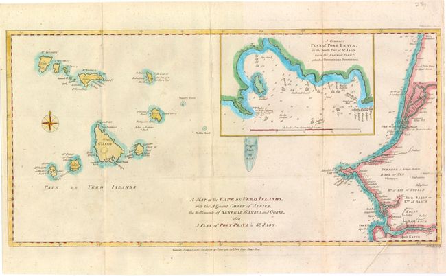
B. A Map of the Cape de Verd Islands, with the Adjacent Coast of Africa, the Settlements of Senegal, Gambia, and Goree..., by J. Bew, from The Political Magazine, dated 1781, hand color (16.8 x 8.4"). This map identifies the Cape Verde Islands and shows their proximity to Africa. Anchorages and many place names are included, and soundings are provided along the coast of Western Africa. An inset titled A Correct Plan of Port Praya, in the South Part of St. Jago. Where the French Fleet, Attacked Commodore Johnstone details the southern coast of Santiago. Engraved by John Lodge. Condition: Issued folding with some minor soiling and one tiny hole in unengraved area of inset. A small chip in right margin and adjacent 1/2" tear have been closed with old paper. (B)
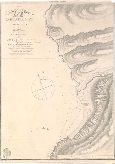
C. A Plan of Tarrafal Bay, St. Antonio Island, by Lieutenant Vidal, dated 1862, black & white (8.6 x 11.7"). A detailed chart of the northern coast of Santiago in the Cape Verde Islands, showing topography and soundings. A note under the title considers this location the "best watering place in the Cape Verde Islands," and describes the approximate locations of banana, papaya, and cotton plantations. Engraved by J. Walker. Condition: Minor soiling with margins trimmed to neatlines on left and right sides. Chip in bottom left corner has been repaired with old paper, with border and part of seal replaced in facsimile. (B)
References:
Condition:
See descriptions above.