Catalog Archive
Auction 143, Lot 672
"Afbeelding van 't Joodsche Land toen het aan de Heerschappy der Romeinen Onderworpen...", Bachiene, Willem Albert
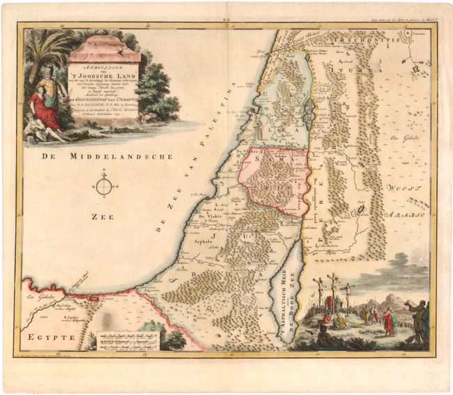
Subject: Holy Land
Period: 1750 (dated)
Publication:
Color: Hand Color
Size:
18.7 x 14.8 inches
47.5 x 37.6 cm
Download High Resolution Image
(or just click on image to launch the Zoom viewer)
(or just click on image to launch the Zoom viewer)