Catalog Archive
Auction 143, Lot 582

"Hungary, and Transylvania", Lucas, Fielding

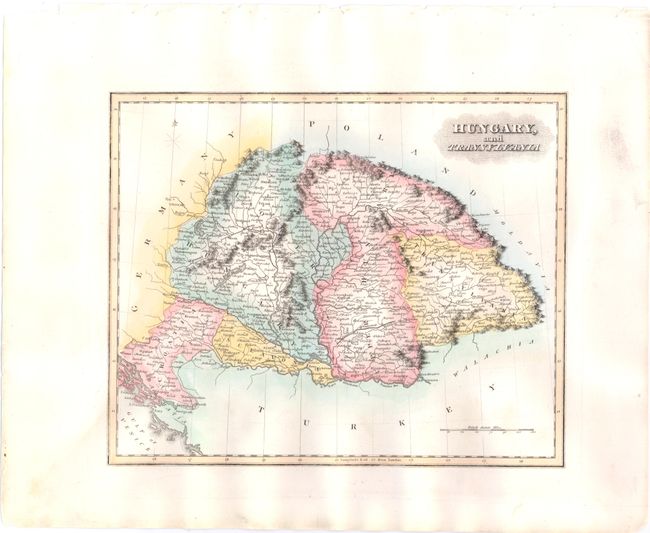
Subject: Hungary, Croatia, Serbia, & Romania

Period: 1823 (published)

Publication: A General Atlas…

Color: Hand Color

Size:
10.5 x 8.8 inches
26.7 x 22.4 cm
Download High Resolution Image
(or just click on image to launch the Zoom viewer)

This detailed map of eastern Europe is centered on Hungary and locates many cities, rivers, and mountains. Budapest is shown as two towns: Buda and Pesth. The Bega canal is depicted in Upper Hungary (present-day Romania) adjacent to Temeswar (Timisoara). Lucas' General Atlas is known as one of the finest general atlases produced in the U.S. at the time, due to the high quality paper, superior engraving quality, and attractive coloring style.

References:

Condition: A

Original color with wide margins, a couple of small, insignificant spots, and a few minute worm holes only visible when held to light.

Estimate: $120 - $160

Sold for: $90

Closed on 2/13/2013

Archived