Catalog Archive
Auction 143, Lot 565

"Beschreibung des Landts Pomern / Sampt allen Hertzogthumben / Graueschafften und Furnemmen Stetten darin gelegen", Munster, Sebastian

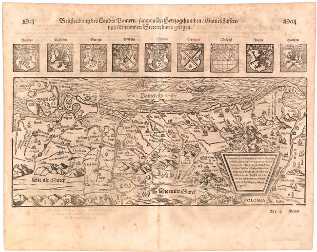
Subject: Northern Poland & Northeastern Germany

Period: 1578 (circa)

Publication: Cosmographey

Color: Black & White

Size:
15 x 8.6 inches
38.1 x 21.8 cm
Download High Resolution Image
(or just click on image to launch the Zoom viewer)

A handsome woodcut map of the historical region of Pomerania along the south shore of the Baltic Sea, extending from Mecklenburg, Germany to Gdansk (Danzig) and the Vistula River in Poland. Above the map are the coasts of arms of Pomerania and eight cities in the region. German text on verso.

References: Mickwitz & Miekkavaara #158-162.

Condition: B+

Light toning with show-through of text on verso and an old paper repair in bottom blank margin, far from map.

Estimate: $160 - $200

Sold for: $120

Closed on 2/13/2013

Archived