Catalog Archive
Auction 143, Lot 564

"Mappa Geographica Regni Poloniae ex Novissimis quot quot sunt Mappis Specialibus Composita et ad L L. Stereographica Projectionis Revocata", Mayer/Homann Heirs

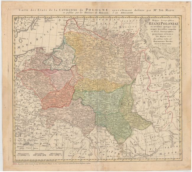
Subject: Poland & Lithuania

Period: 1773 (dated)

Publication:

Color: Hand Color

Size:
20.1 x 17.3 inches
51.1 x 43.9 cm
Download High Resolution Image
(or just click on image to launch the Zoom viewer)

Johann Tobias Mayer's detailed map of the region based on Barnikel's map of Curland (1747) and Jan Nieprzecki's map of Lithuania (1749). The map covers the coastline from Riga to Gdansk and most of present-day Poland. Topographical information is very good and includes towns, rivers, lakes, forests and political divisions. French title is outside top border: Carte des Etats de la Couronne de Pologne, Nouvellement dessinee par Mr. Tob. Mayer...

References: Malinowski (MCC-25) #151.

Condition: B+

Watermarked paper with light soiling, several small stains, some minor creasing along centerfold, and two tiny worm holes at top center. There is non-archival tape on the edges of the sheet on verso, confined to the blank margins.

Estimate: $325 - $400

Sold for: $240

Closed on 2/13/2013

Archived