Catalog Archive
Auction 143, Lot 527

"Iberia sive Hispania Vetus in Tres Praecipuas Partes necnon in Populos Divisa", Blair, Rev. John

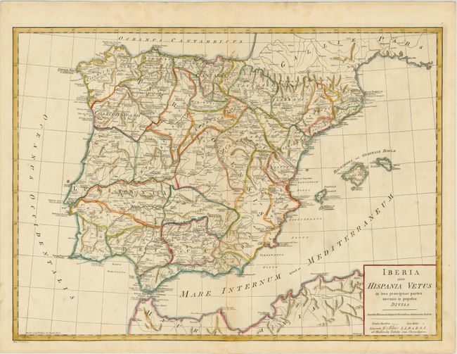
Subject: Spain & Portugal

Period: 1780 (circa)

Publication: Chronology and History of the World

Color: Hand Color

Size:
22.7 x 16.5 inches
57.7 x 41.9 cm
Download High Resolution Image
(or just click on image to launch the Zoom viewer)

This map of the Iberian Peninsula divides the region into the three Imperial Roman provinces: Tarraconensis, Lusitania, and Baetica. The region is further divided into Iberian tribal groups, with key cities, rivers, and mountains depicted. The map extends to include the Balearic Islands and the northern coastline of Africa. Engraved by Thomas Kitchin.

References: Shirley (BL Atlases) G.BLAI-1a #6.

Condition: B+

Sturdy paper with "J Whatman" watermark, light toning along centerfold, and faint spots.

Estimate: $120 - $160

Sold for: $50

Closed on 2/13/2013

Archived