Catalog Archive
Auction 143, Lot 490

"A New Map of the Belgic Netherlands, from the Best Authorities", Laurie, Richard Holmes

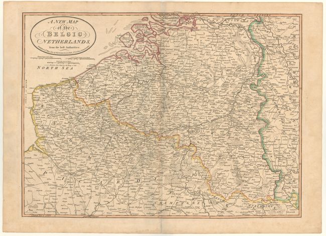
Subject: Belgium & France

Period: 1821 (dated)

Publication:

Color: Hand Color

Size:
25.2 x 18.6 inches
64 x 47.2 cm
Download High Resolution Image
(or just click on image to launch the Zoom viewer)

Uncommon large-scale map providing excellent detail of the region of Belgium and northeastern France. The map is fully engraved with cities, fortifications, towns, roads and forests.

References:

Condition: B+

Light toning along centerfold, archival repairs to centerfold separations in top and bottom blank margins, and very minor foxing in blank margins.

Estimate: $190 - $220

Unsold

Closed on 2/13/2013

Archived