Catalog Archive
Auction 143, Lot 470

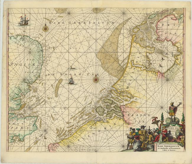
"Pascaert van de Noord Zee van Ameland tot de Hoofden / Mare Germanicum ab Amelandia ad Promontoria Caleti et Doverae", Renard/De Wit

Subject: North Sea

Period: 1715 (published)

Publication: Atlas de la Navigation et du Commerce

Color: Hand Color

Size:
22.5 x 18.2 inches
57.2 x 46.2 cm
Download High Resolution Image
(or just click on image to launch the Zoom viewer)

This handsome coastal chart taken from plates engraved for Frederick de Wit's maritime atlas details the North Sea between England and the Netherlands. The Frisian Islands are shown along the coast of Holland to just south of Dunkerque. The English coast is more generally described, but the sea is full of rhumb lines, soundings, a compass rose and sailing ships. The decorative cartouche has figures representing the natives of the Dutch colonies trading with a representative of the Dutch East India Company.

References: Shirley (BL Atlases) M.Ren-1a.

Condition: B

A nice impression with attractive color and a number of small worm holes along centerfold and in blank margins that have been professionally repaired with image replaced in facsimile and minor loss of image in some areas.

Estimate: $750 - $850

Sold for: $475

Closed on 2/13/2013

Archived