Catalog Archive
Auction 143, Lot 450

"A New Map of England and Wales, Divided into Counties; Shewing all the Cities, Burough and Market Towns...", Kitchin, Thomas

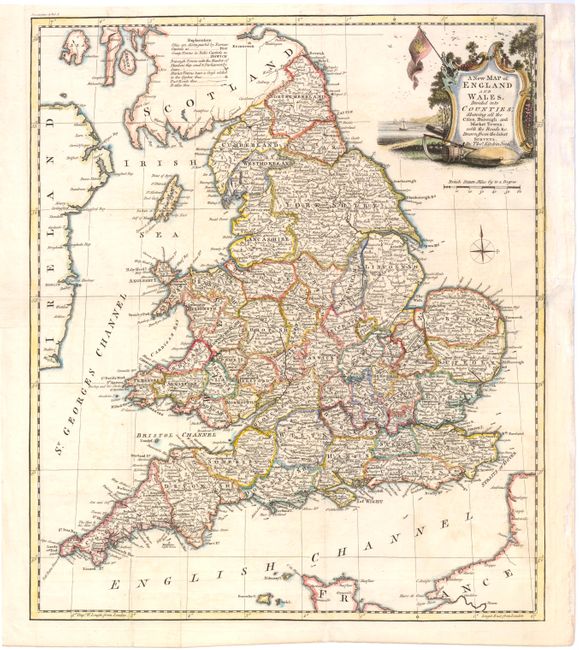
Subject: England & Wales

Period: 1780 (circa)

Publication:

Color: Hand Color

Size:
16.1 x 19 inches
40.9 x 48.3 cm
Download High Resolution Image
(or just click on image to launch the Zoom viewer)

This handsome map of England and Wales is divided into counties. There is great detail of cities, roads, market towns, and battle sites. The map is adorned with a decorative title cartouche.

References:

Condition: B+

Issued folding on watermarked paper with faint offsetting and archival repairs to a few short fold separations. A binding trim at top right has been replaced with old paper, and a resulting binding tear that extends 3" into map at right that has also been archivally repaired.

Estimate: $400 - $475

Unsold

Closed on 2/13/2013

Archived