Catalog Archive
Auction 143, Lot 433

"Europa im Zeitalter Napoleons", Perthes, Justus
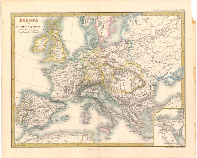
Subject: Europe

Period: 1868 (circa)

Publication: Spruner's Historische Schul-Atlas

Color: Hand Color

Size:
10.4 x 8.1 inches
26.4 x 20.6 cm
Download High Resolution Image
(or just click on image to launch the Zoom viewer)

This map depicts Europe during Napoleon's prominence, from about 1796-1815. Key cities, political boundaries, and rivers are shown, along with hachure marks depicting the topography of the land. A small inset at bottom right shows Egypt and the Nile River valley. Engraved by C.W. Hensgen and W. Weiler. Enclosed in a delicately engraved keyboard style border.

References:

Condition: A

Lovely original color with a couple of tiny, unobtrusive spots. There are a small chip and stains in right blank margin, far from map.

Estimate: $70 - $90

Unsold

Closed on 2/13/2013

Archived