Subject: Western South America
Period: 1882 (circa)
Publication:
Color: Black & White
Size:
25.7 x 25.5 inches
65.3 x 64.8 cm
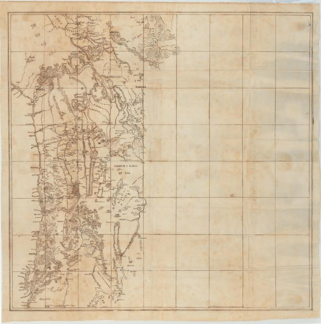
This finely rendered manuscript map, drawn with pen, depicts the western coast of central South America from present-day La Paz, Bolivia south to Antofagasta, Chile. The map was most likely drawn during the War of the Pacific (1879-1883), which was fought between Chile and the allies of Peru and Bolivia over the mineral-rich areas of Tarapaca, Tacna, and Arica, and the Bolivian province of Antofagasta. Chile eventually won the war with its northern neighbors, and as a result took over the Peruvian territory of Tarapaca and the disputed Bolivian department of Litoral (cutting Bolivia off from the ocean). Given that the majority of the map is still labeled Republica del Peru, it is likely the map was drawn while the war was ongoing, circa 1882.
The map itself shows exceptional detail of the cities, river systems, and topography near the coastline, with virtually no detail east of Poopo Lake. Drawn on oil cloth.
References:
Condition: C+
There are numerous wormholes in the image, many of which are only visible when held to light. Issued folding with light foxing.