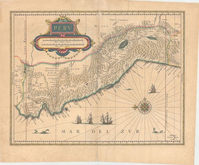
Subject: Peru
Period: 1640 (circa)
Publication:
Color: Hand Color
Size:
19.3 x 14.8 inches
49 x 37.6 cm
Beautifully engraved map based on the cartography of Hessel Gerritsz. The map covers the Pacific coast of South America from Ecuador as far south as the Atacama Desert in the northern reaches of Chile. It includes the Potosi silver mines, Titicaca, Cusco, Quito and numerous other towns and villages. The dramatic strapwork cartouche incorporates both the title and the distance scales. A large compass rose orients the map with north to the left. It is further decorated with four Spanish galleons and three sea monsters. This is one of the plates that Blaeu acquired from the widow of Jodocus Hondius in 1629. French text on verso.
References:
Condition: B
Watermarked paper with wide, original margins, a long vertical crease, light toning, and a few spots. There is a 4" centerfold separation at top that has been closed on verso with old paper, and abrasions along the centerfold at the center and top of the map. There are two tiny worm holes in unengraved areas of map, and a couple of pieces of old paper have been pasted to recto in top blank margin.