Catalog Archive
Auction 143, Lot 327
"Les Isles Antilles Entre Lesquelles sont les Lucayes et les Caribes", Sanson, Nicolas
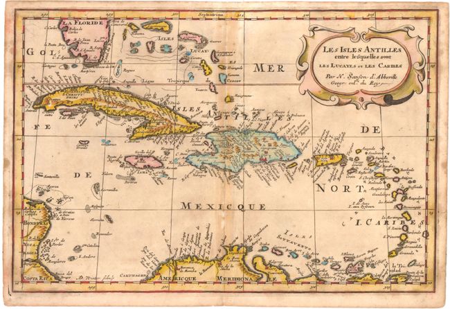
Subject: Caribbean
Period: 1680 (circa)
Publication:
Color: Hand Color
Size:
12 x 8 inches
30.5 x 20.3 cm
Download High Resolution Image
(or just click on image to launch the Zoom viewer)
(or just click on image to launch the Zoom viewer)